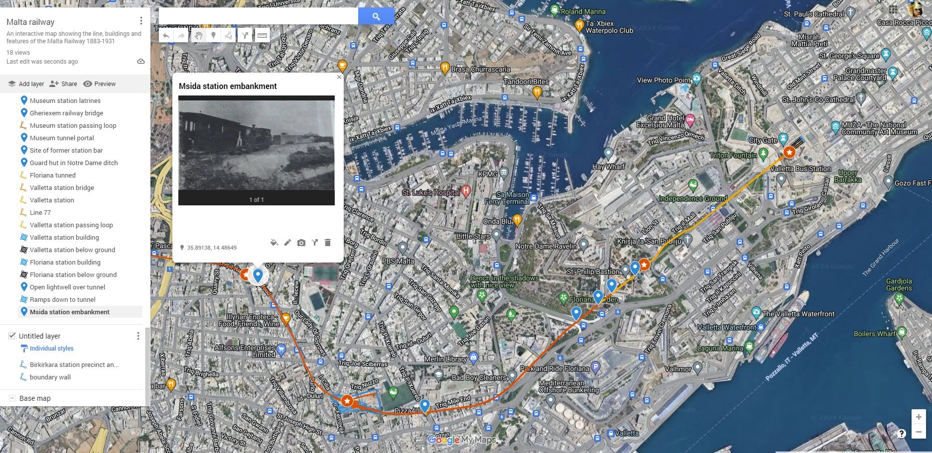
Someone asked if there was a map showing the railway on the modern street plan, so naturally I decided to spend a stupid number of hours creating an interactive one. I know someone else has done it before, but I’ve tried to include as much as possible on this one including track layouts, buildings, lost features, and historic photos for each point where I have some. There are over 100 individual points now, so happy exploring. https://www.google.com/maps/d/u/2/edit…
Hopefully this is a nice interactive way to explain the railway landmarks and I’ll try to add more photos and features when I have time. Presently there are only a couple of the wayside guardhouses shown, but I’ll get onto this soon.
If anyone has more information on the routes of the various proposed extensions and new branches please drop it over to me as I could get those on too.
This post was first published on the Malta Railway Facebook page in August 2024

No responses yet