San Anton
A green legacy
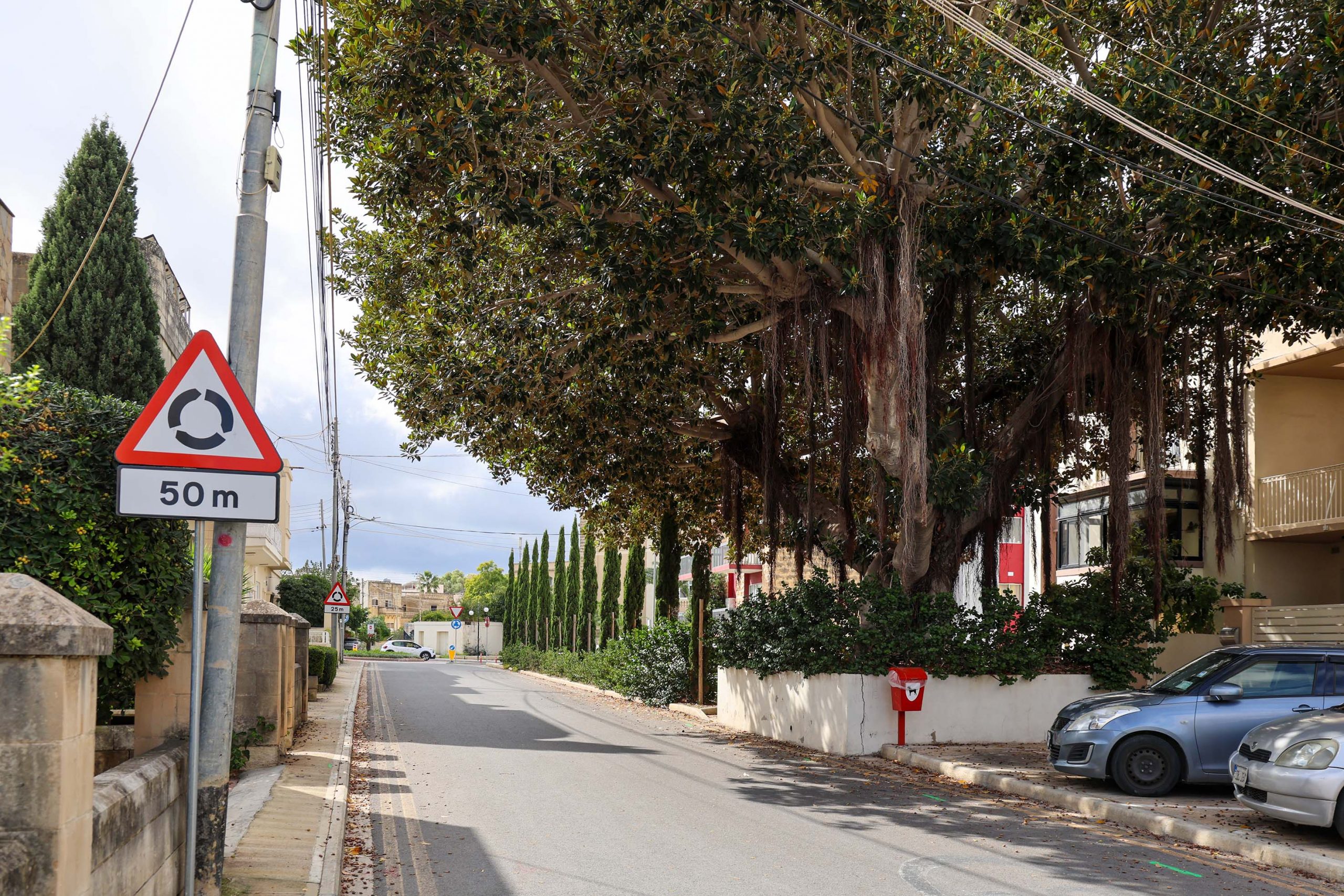
The site of San Antonio station announces itself from some distance away. A vast weeping fig, part of the station’s garden planting, has grown so large that it now dominates the surrounding area. It is now the only reminder of the railway’s presence at this spot.
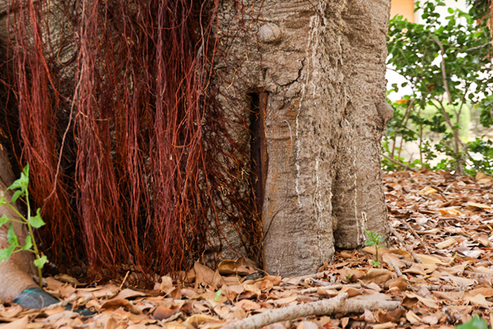
Hidden in the raised bed a steel rail from the track is now almost enveloped by the growing tree trunk. This would have been placed there to support to the sapling when Nicola Buhagiar first had it planted at the beginning of the Twentieth Century.
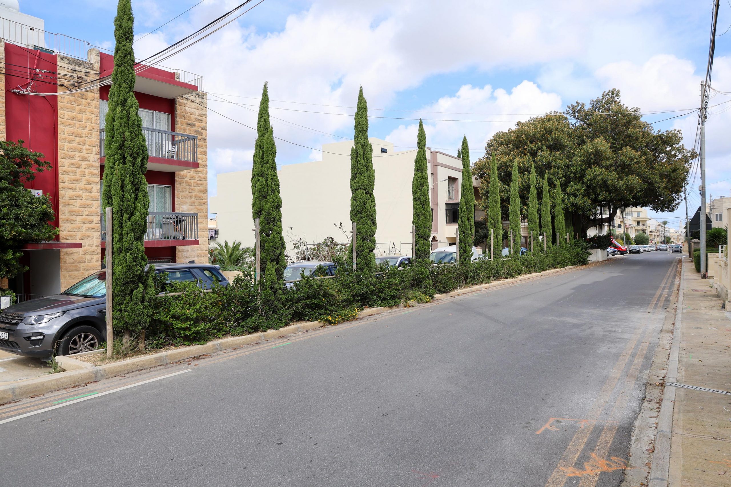
There were once more trees surviving from this railway garden, but they were felled within living memory and the smart row of cypress trees replaces them. Together, they mark the extent of the historic station platform and its location on the north side of the trackbed.
Beyond the station the country lane that once crossed the railway, the route for passengers to visit San Anton Gardens, has now become the two-lane Vjal de Paule.
The landmark embankment
The line of the railway recommences beyond the modern road, running into one of its more monumental and memorable structures. The Attard embankment begins humbly enough behind the Corinthia Palace Hotel. Now planted with regularly spaced trees along its top it is not recommended to try and follow the track level on foot; there is no way off the embankment at the other end, so take the lane running alongside.
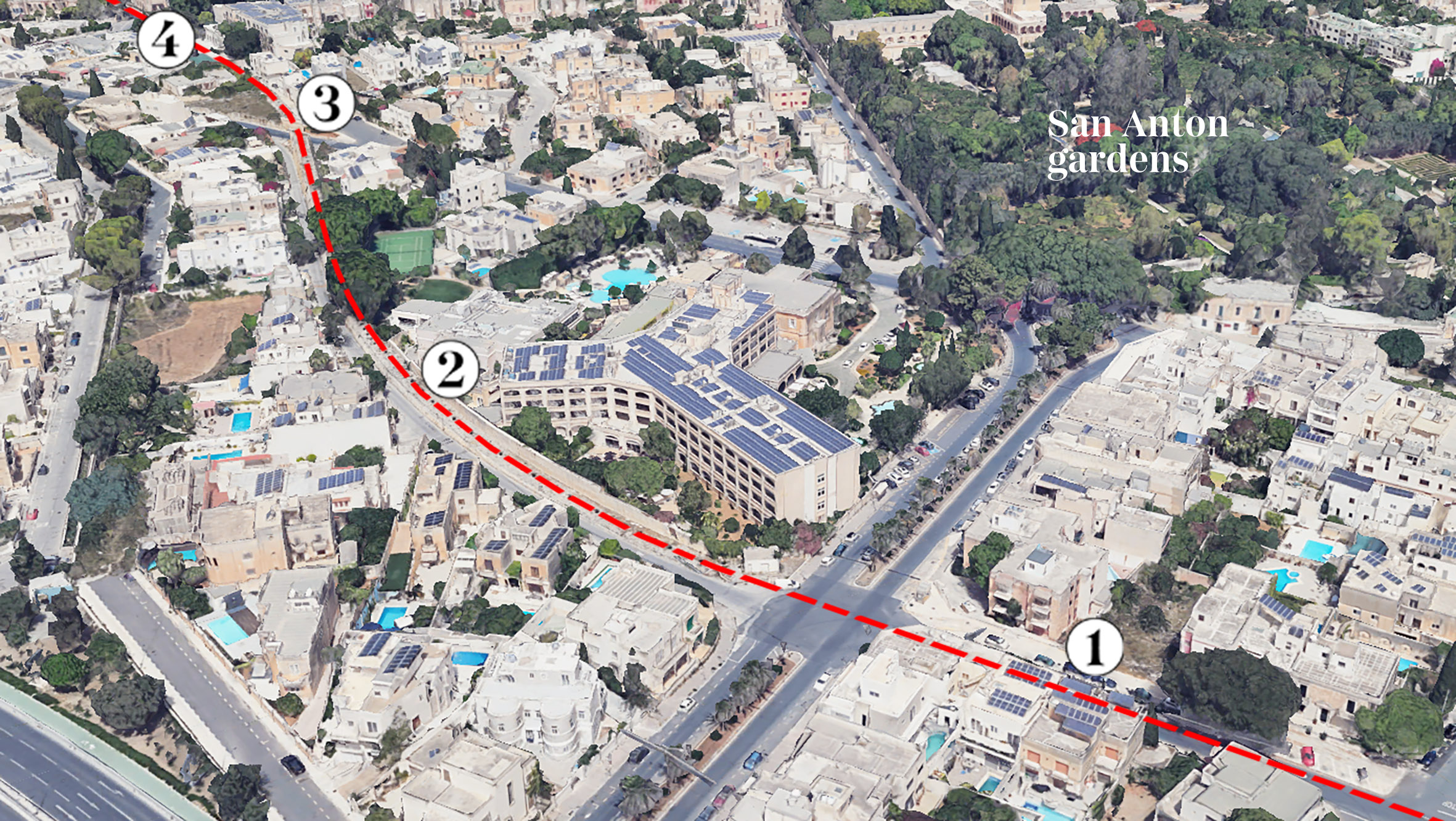
The ascent is gradual as the track alignment adopts a strong right-hand curve on its approach to Attard station. At first the blockwork is attractively rounded, but neatly coursed. This is replaced by more regular ashlar blockwork as the structural demands increase with the increasing height.
The embankment formed a significant barrier to farmers when the railway was built. Two of the stone underpasses that once allowed agricultural access survive along its length, though now blocked after they became redundant for their original purpose.
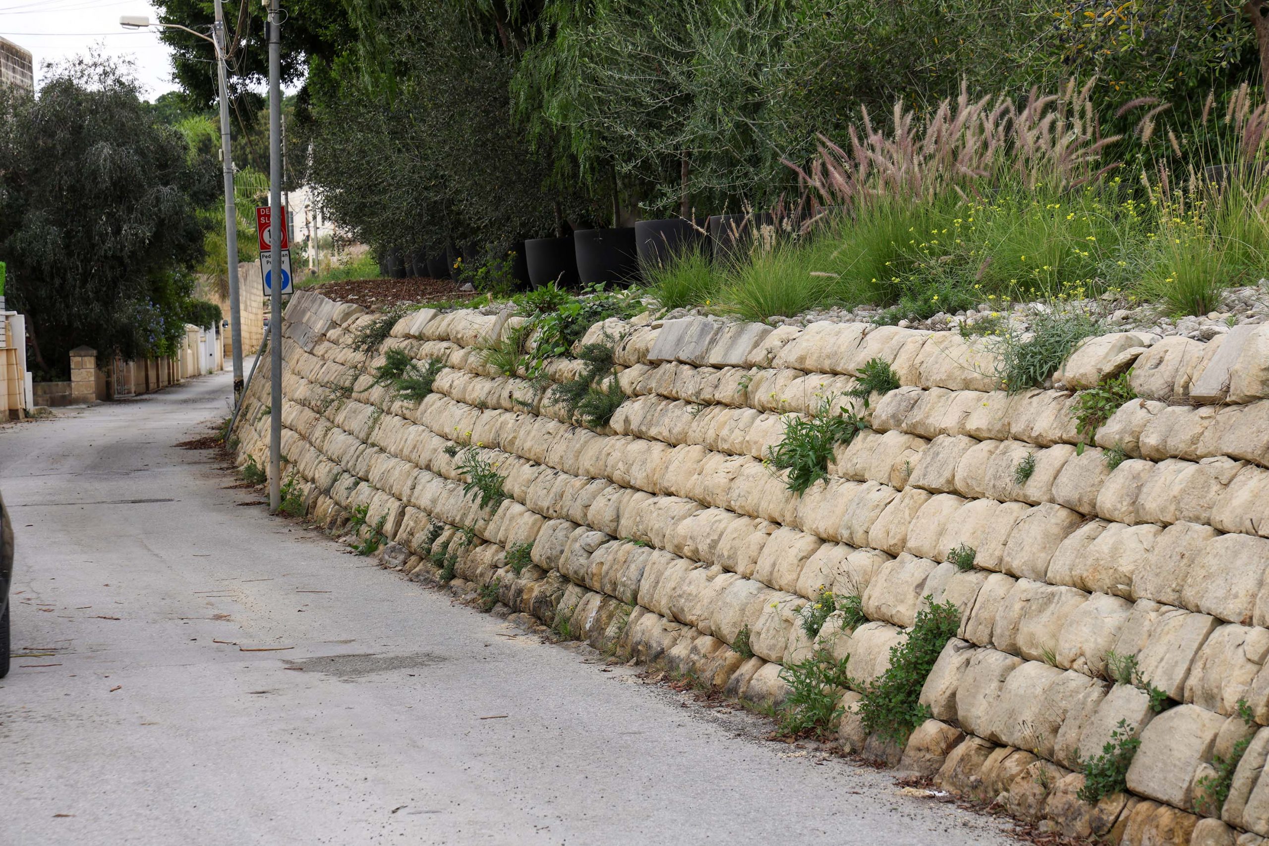
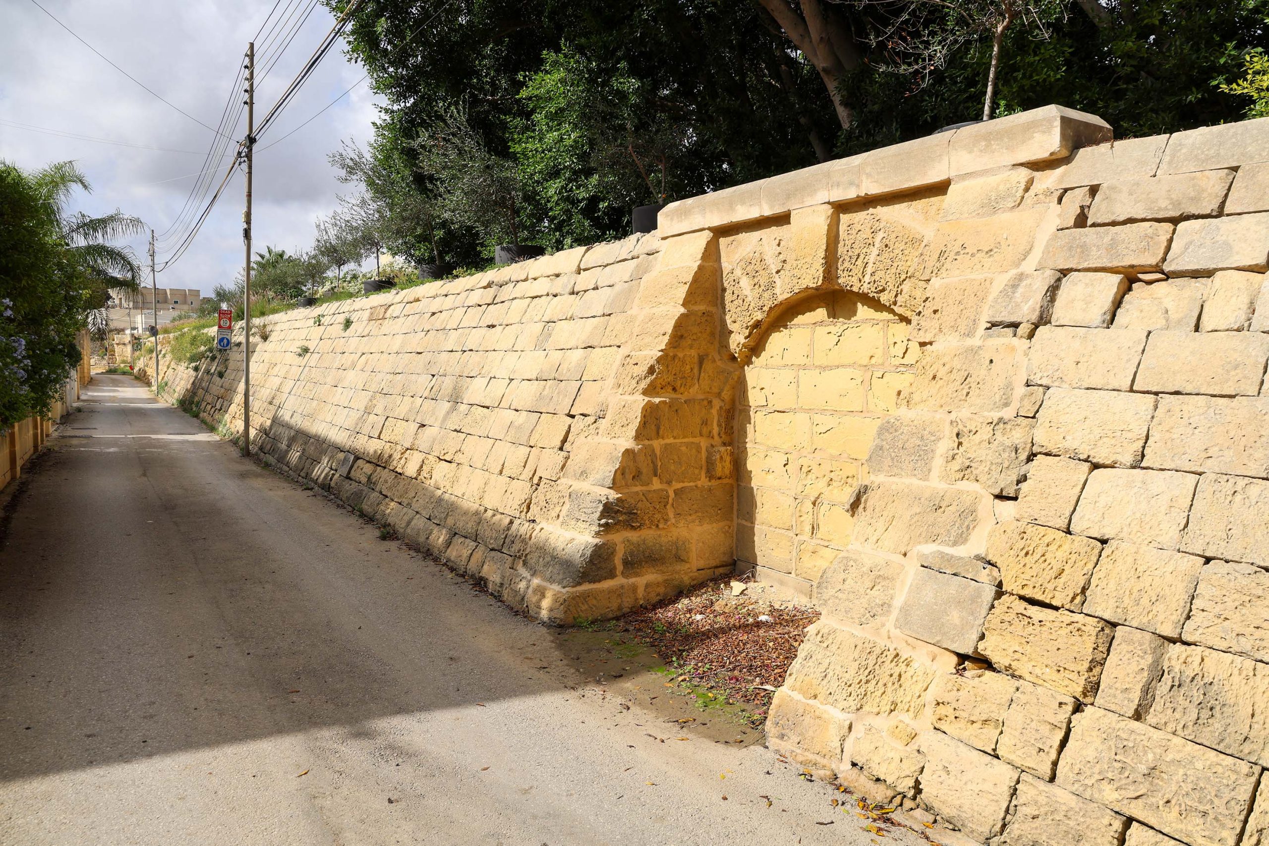
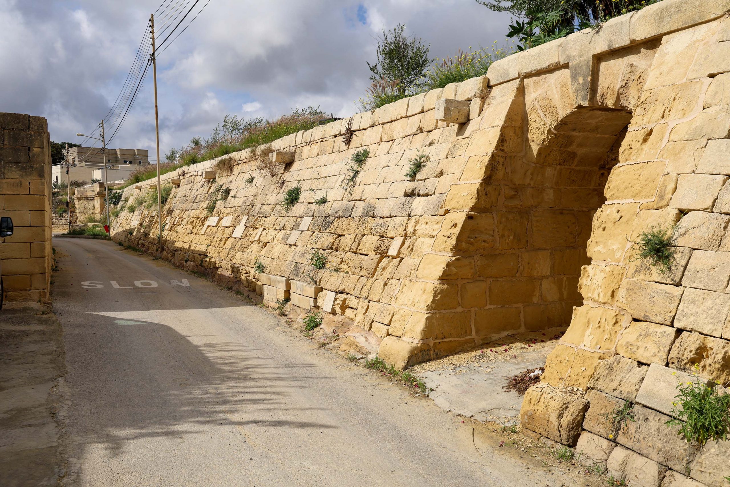
Further along the embankment, high level projecting blocks were also used as steps by farmers to cross the line. Now impossibly high, the field level was subsequently excavated, leaving them hanging uselessly above the lane. A distinct horizontal line in the stonework suggests the original levels before under-building was necessitated.
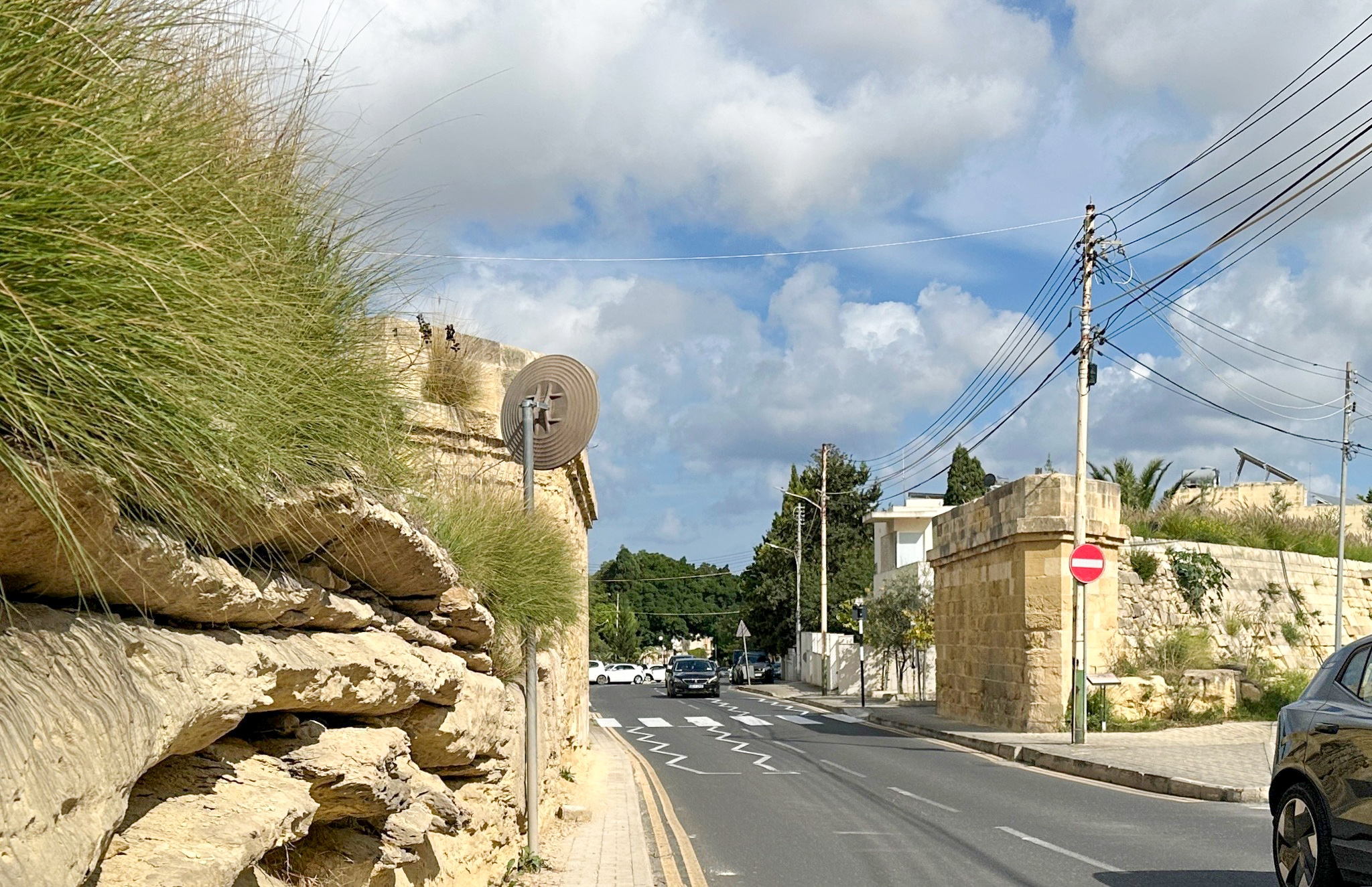
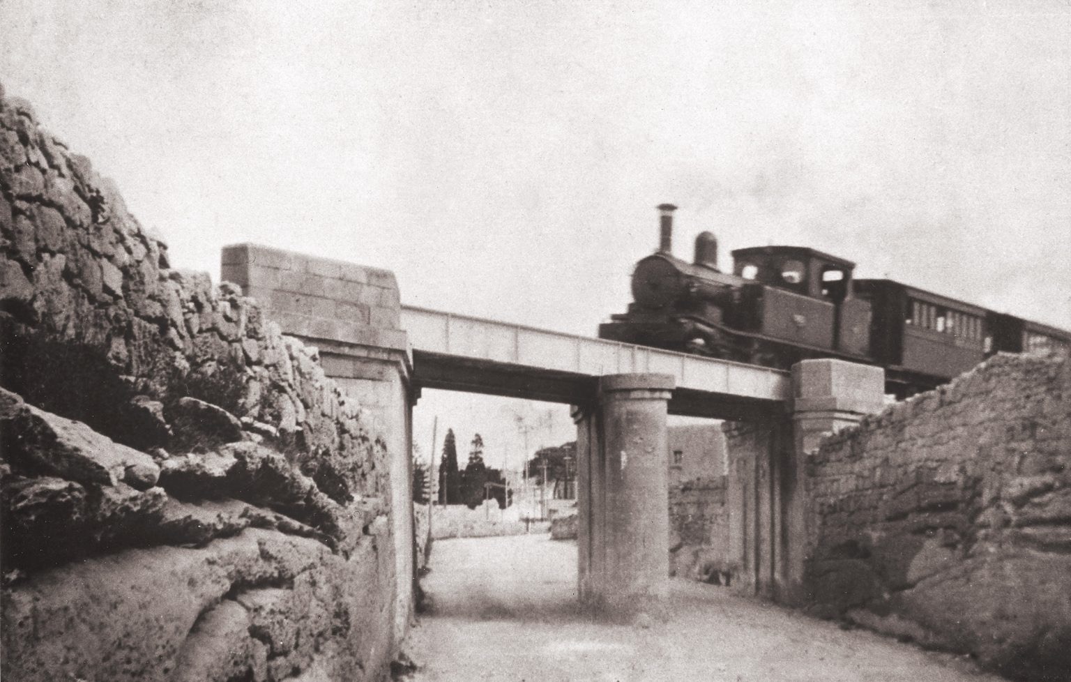
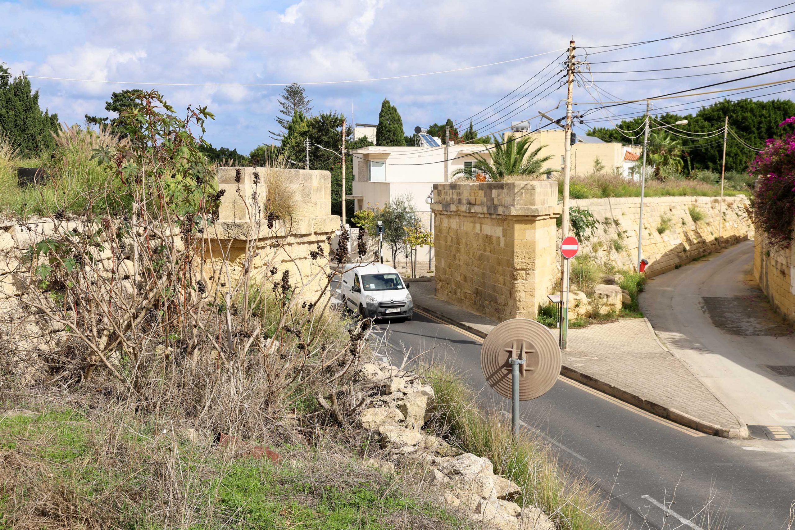
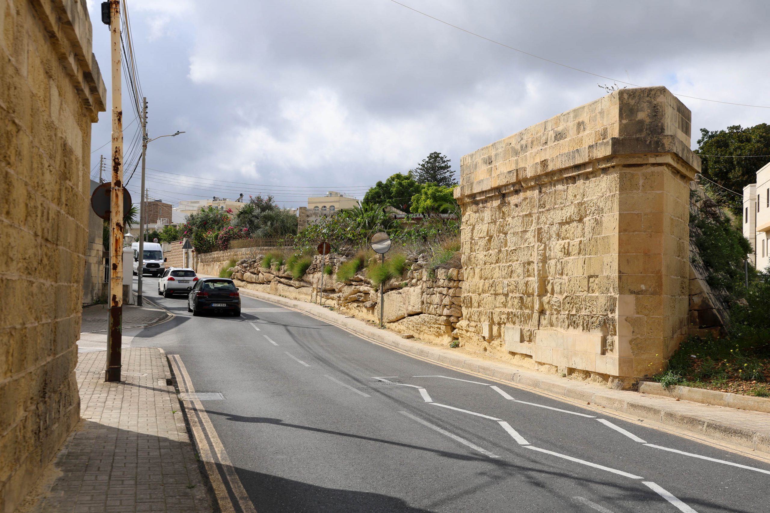
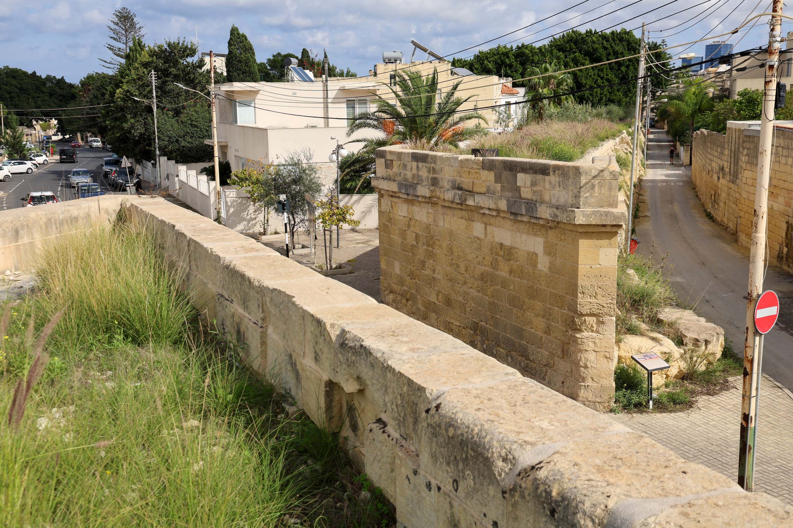
Though both of the massive bridge abutments survive either side of the Birkirkara Road, the steel bridge span and central supporting pier have all now gone. Not to say that the abutments aren’t imposing enough, standing at considerable height and at an acute angle to the road.
As the embankment continues beyond the lost bridge, the land rises up. More projecting blocks used by farmers punctuate this final section before the line enters Attard station.
Previous Station / Next Station
