Msida – Birkirkara
Urban inundations
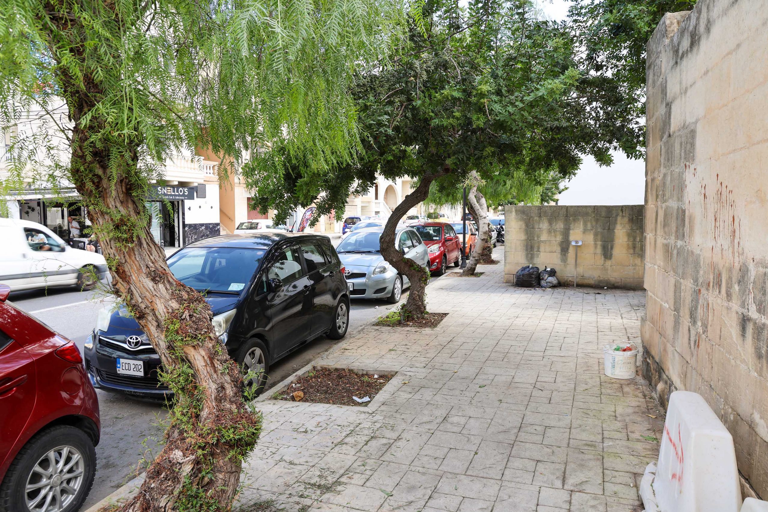
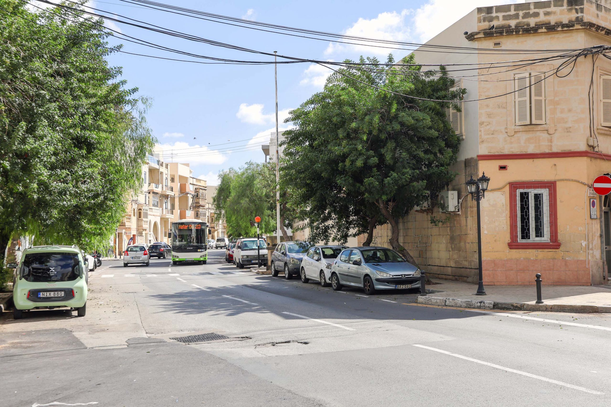
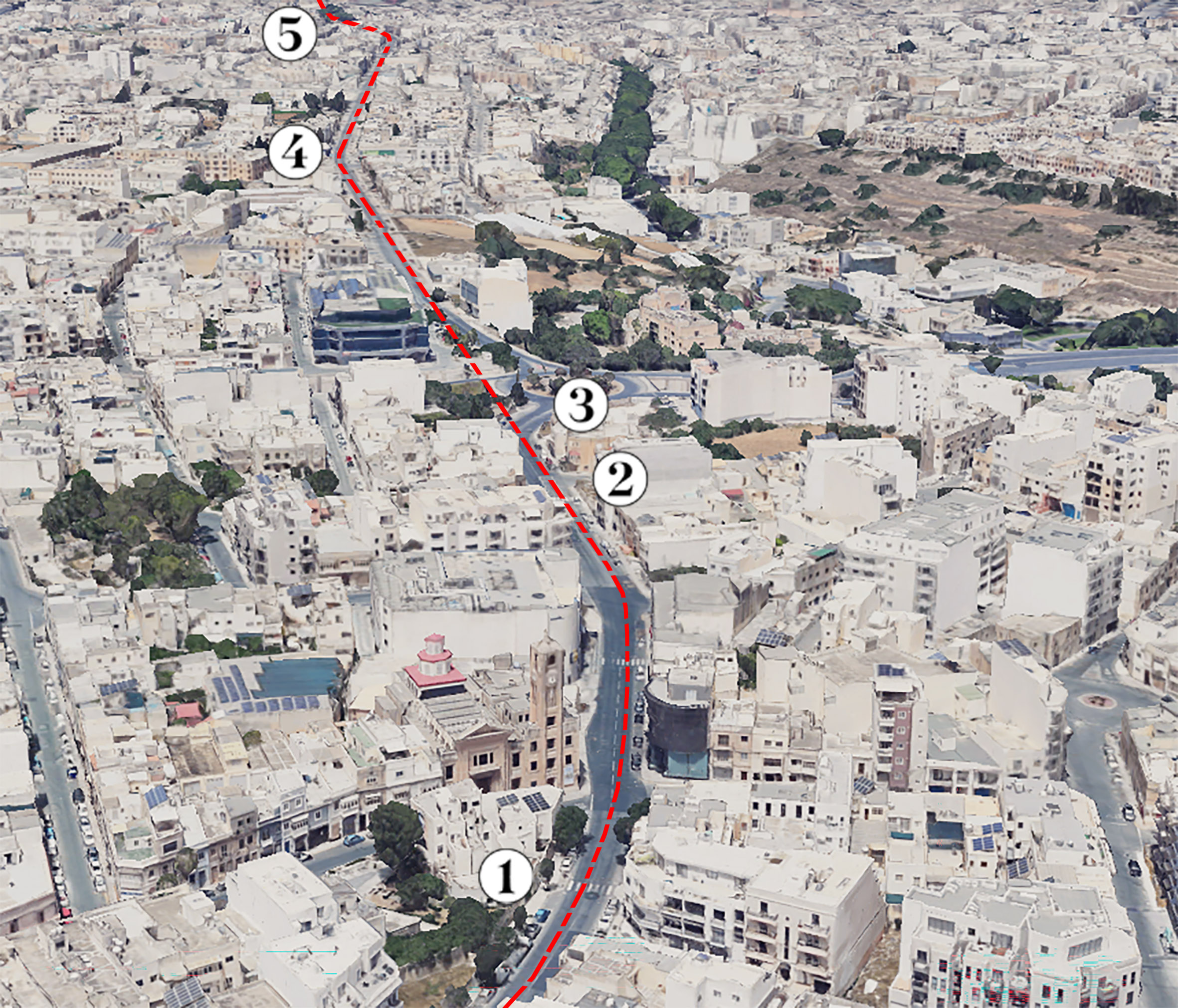
Triq il-Kappillian Mifsud curves gently to the east before arriving at the former site of Msida station. The platform is evidenced the a stretch of widened pavement on the south side of the road at its junction with Triq Villambrosa.
The station once boasted gardens and the pavement trees are the distant descendants of the original planting. The present ones replace date palms which continued to grow there long after the closure of the railway and the demolition of the small station hut.
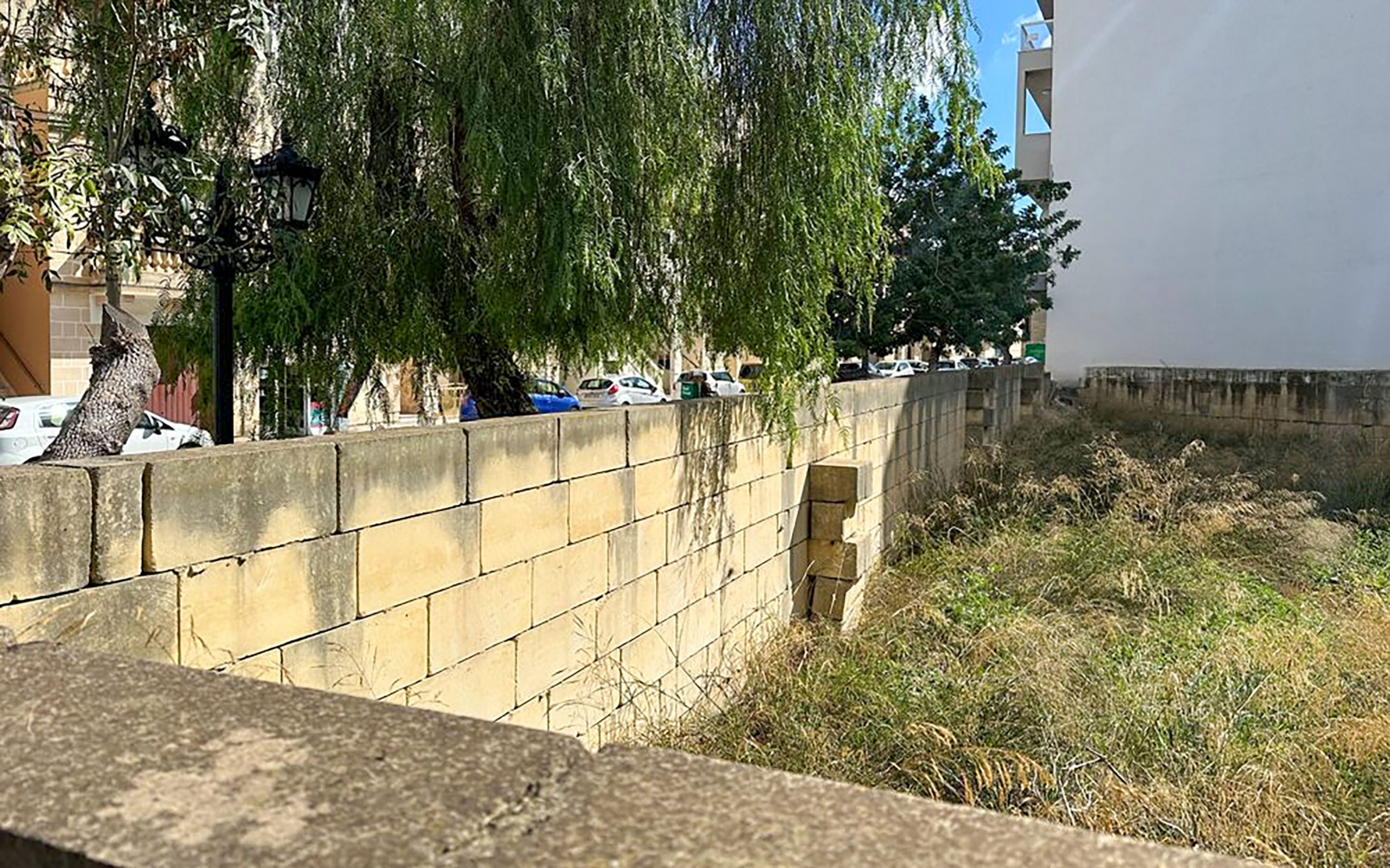
The wall at the Hamrun end of the station, on a diagonal alignment, marks the original limits of the station in this direction. The empty plot of land beyond it formerly dropped down from track level where one of the stone underpasses once crossed beneath the tracks.
Fragments along the highway
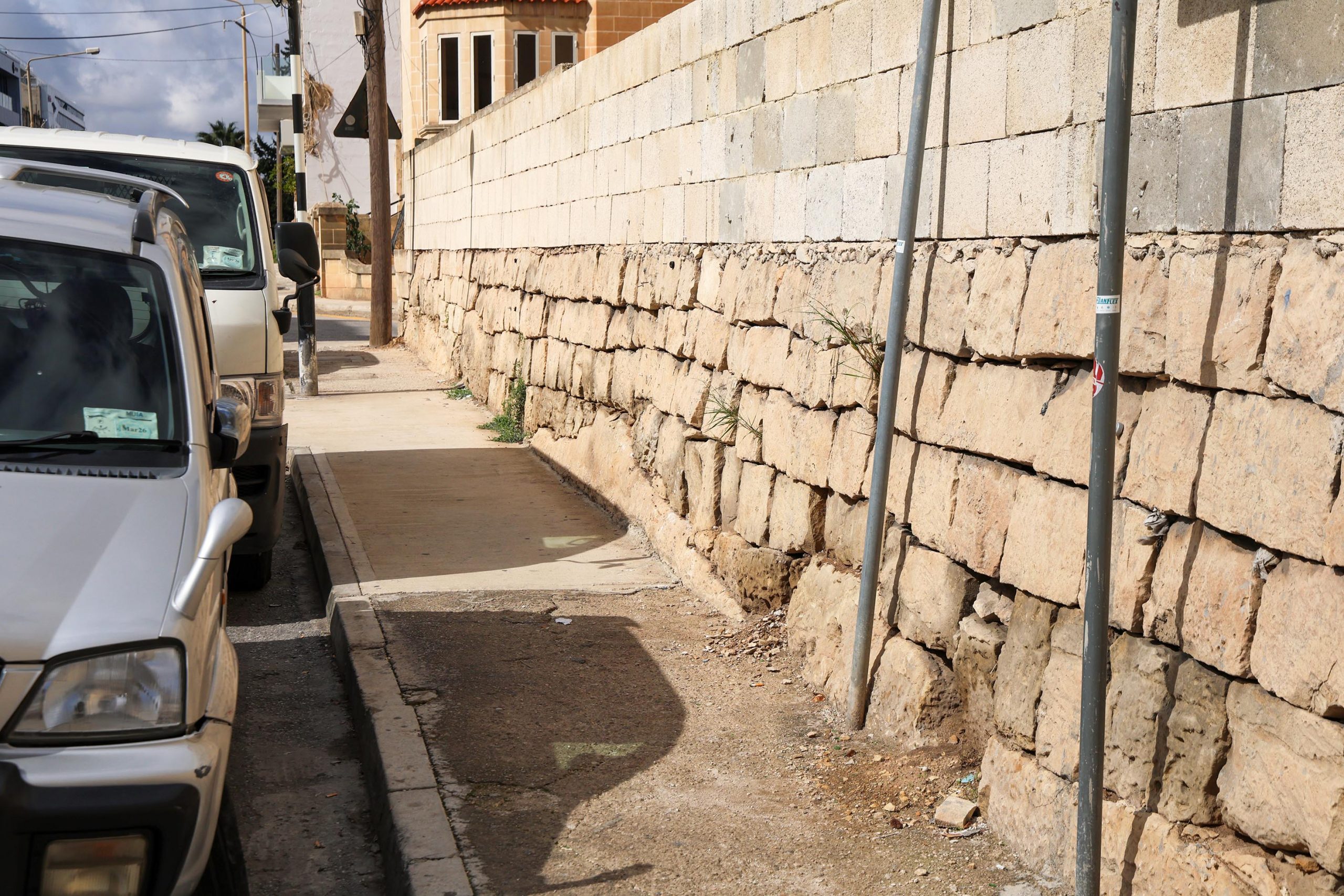
The railway starts to climb more heavily on its journey towards Birkirkara. Just outside Msida station, the road passes a couple of easily-overlooked railway remains on its northern side. Just where the line straightens our from its curve, rough stone blockwork lines the back edge of the pavement; this once formed the inside face of the railway cutting.
The natural bedrock can be seen cut through by the railway and with the regular stone blocks dressed into and around it. The original section of retaining wall survives up to around five courses high, with modern blockwork extending above. The slight incline of the cutting wall contrasts with the vertically stacked modern blocks above it.
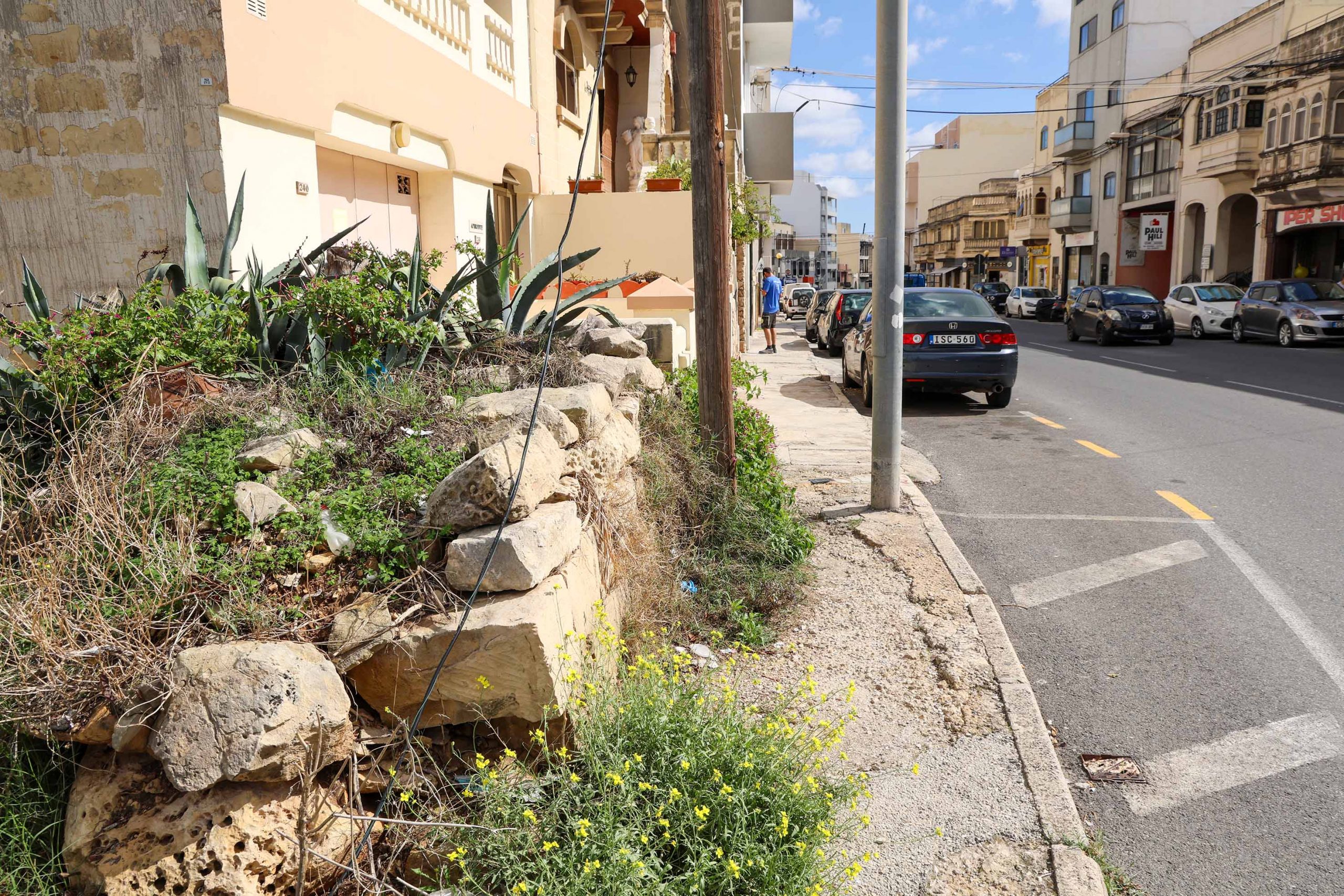
Further on, a short and more dilapidated section of the railway cutting wall is now truncated by the big roundabout and junction for the Regional Road. Along this whole stretch the southern cutting wall has been erased and land levelled by the modern road. It’s somewhat miraculous that the northern side has survived to such an extent and in sufficient condition to be able to identify the exact same blocks in a photograph of the original construction.
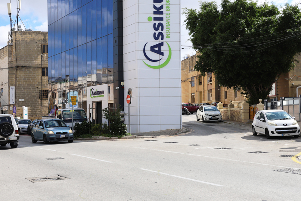
Crossing the roundabout with care, the road continues as Old Railway Track, before becoming Triq Salvu Psaila. The site of guard hut 6 and Santa Venera platform were formerly on the south side of the track, where a modern office block with pointed ‘flat-iron’ corner follows the historic road alignment approaching downhill from Santa Venera church.
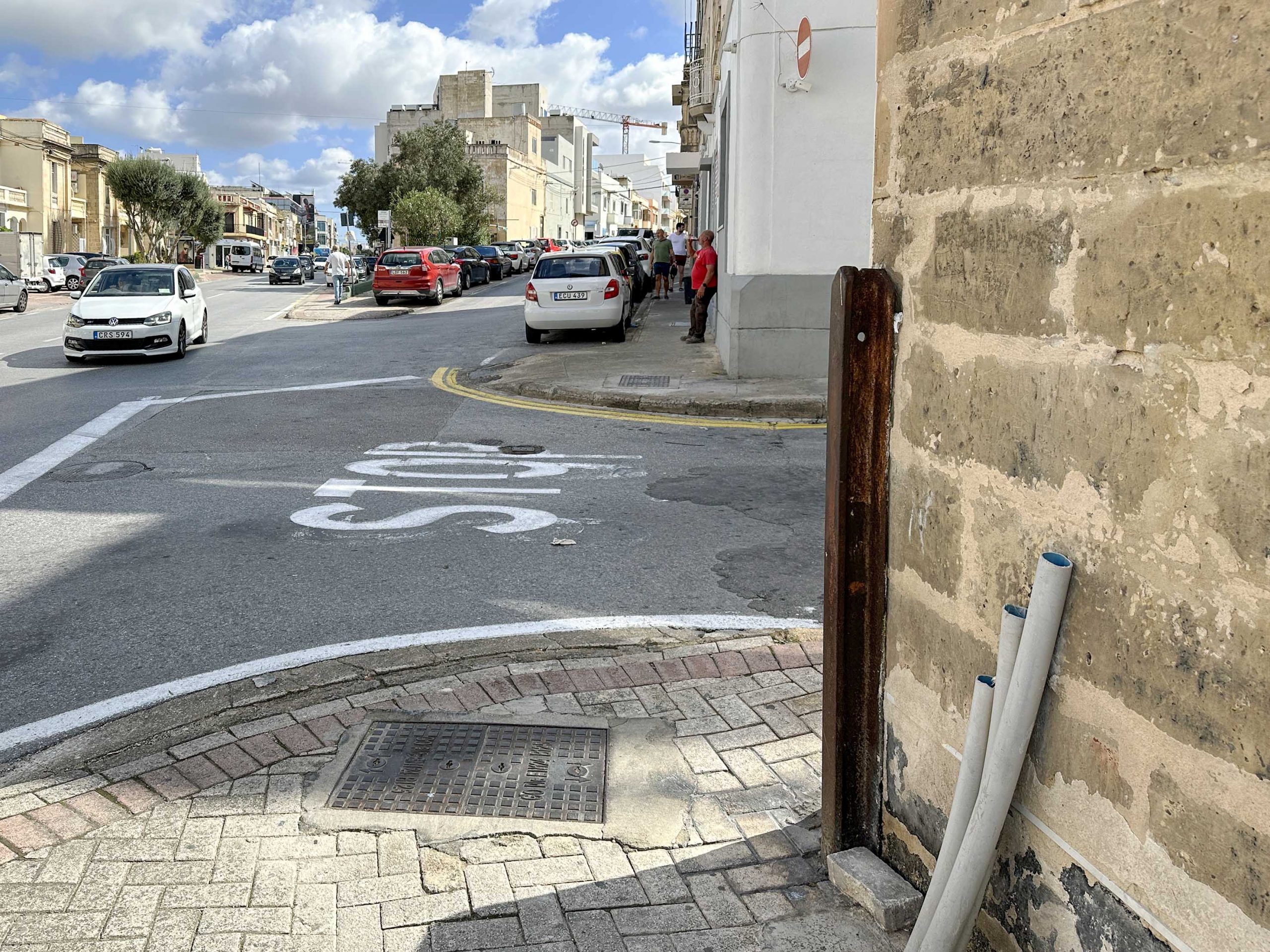
A long and largely unexceptional walk is now encountered in the journey towards Birkirkara, broken only to view a surviving steel rail fixed in the corner of a wall at the junction of Triq Sant’ Antnin; This marks the location of the road crossing controlled by guard hut 7. The rail has drilled holes in its top end, reputed to have been where the guard chains were fixed across the road when trains were approaching.
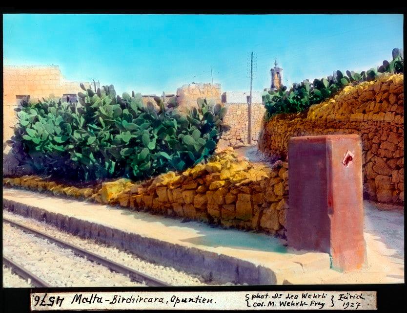
The approach into Birkirkara station is announced first by a gentle bend in the street before the important junction with Fleur-de-Lys road is encountered.
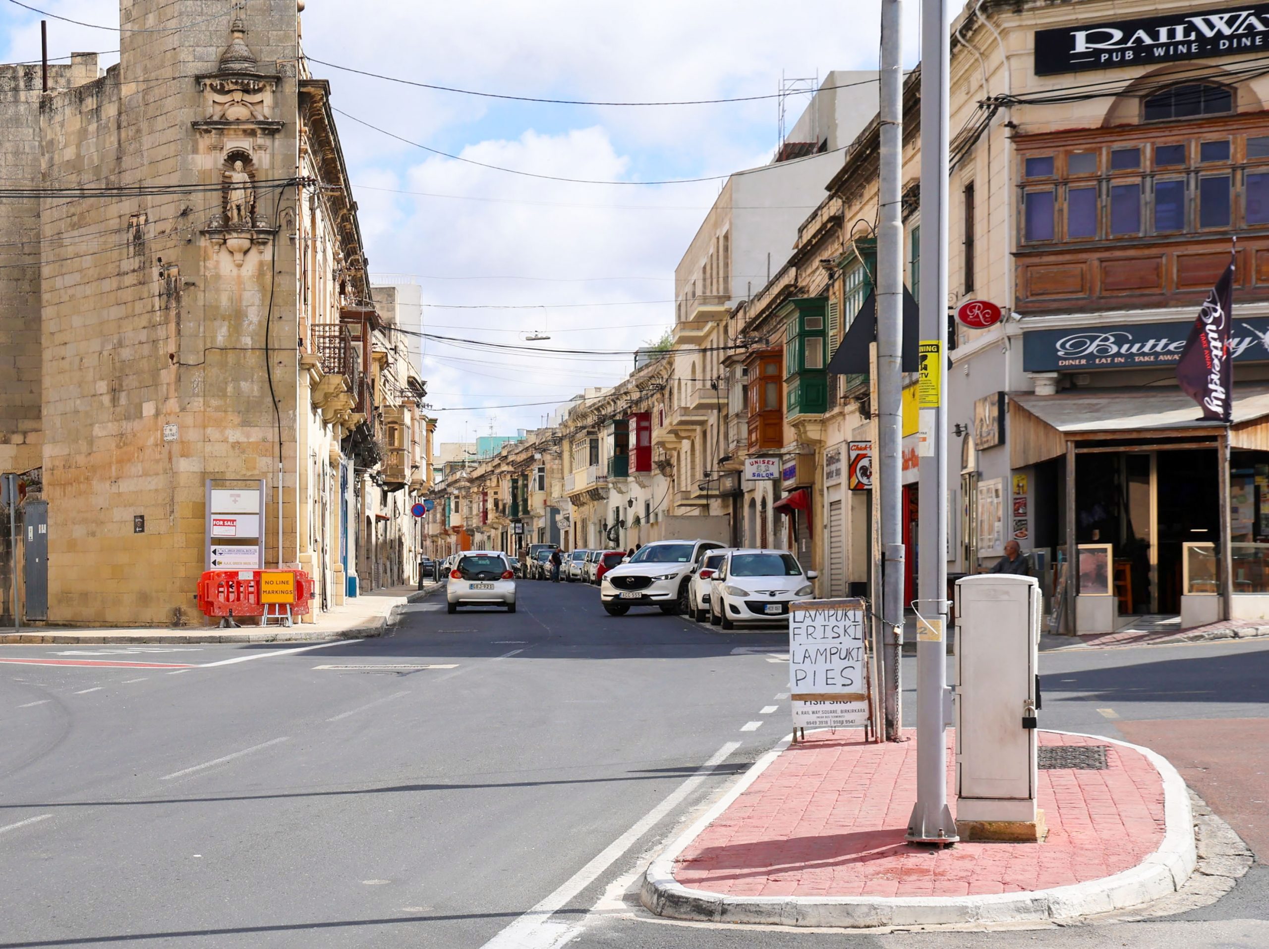
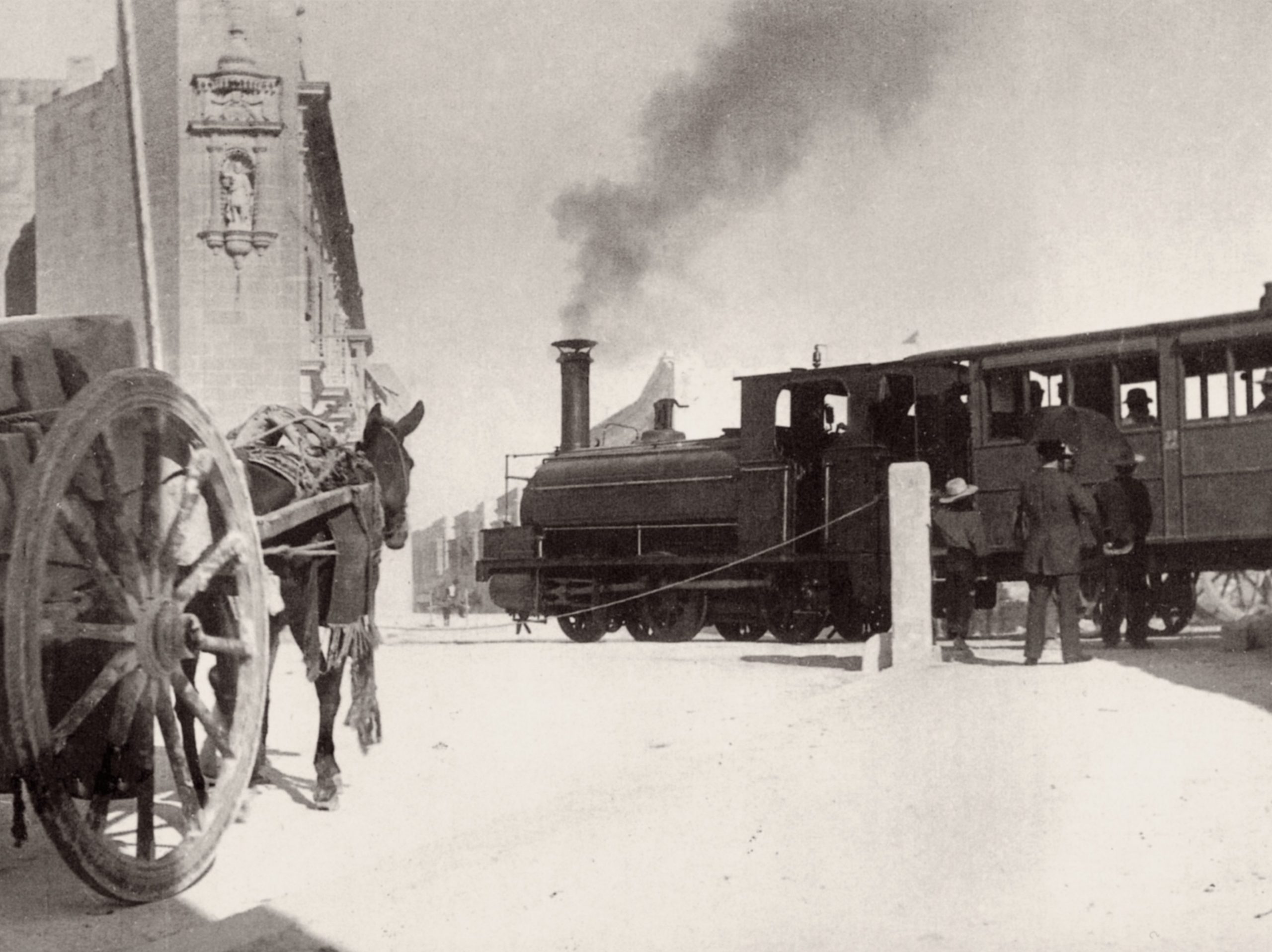
The railway crossed the road here at an acute angle, one that was a perennial hazard to rail and road users alike. Hanging in the wall above the former crossing is a statue niche housing an effigy of St Rocque. This historic feature was recorded in a well-known photograph of engine No.4 crossing on its journey towards Valletta at the turn of the 20th century.
The bus station on the west side of Fleur-de-Lys road has expanded to occupy part of the old Birkirkara station, though, fortunately, the original gate piers were moved rather than removed. The area is now called Railway Square.
Previous station / Next station
