San Salvatore to Notabile
A site badly treated
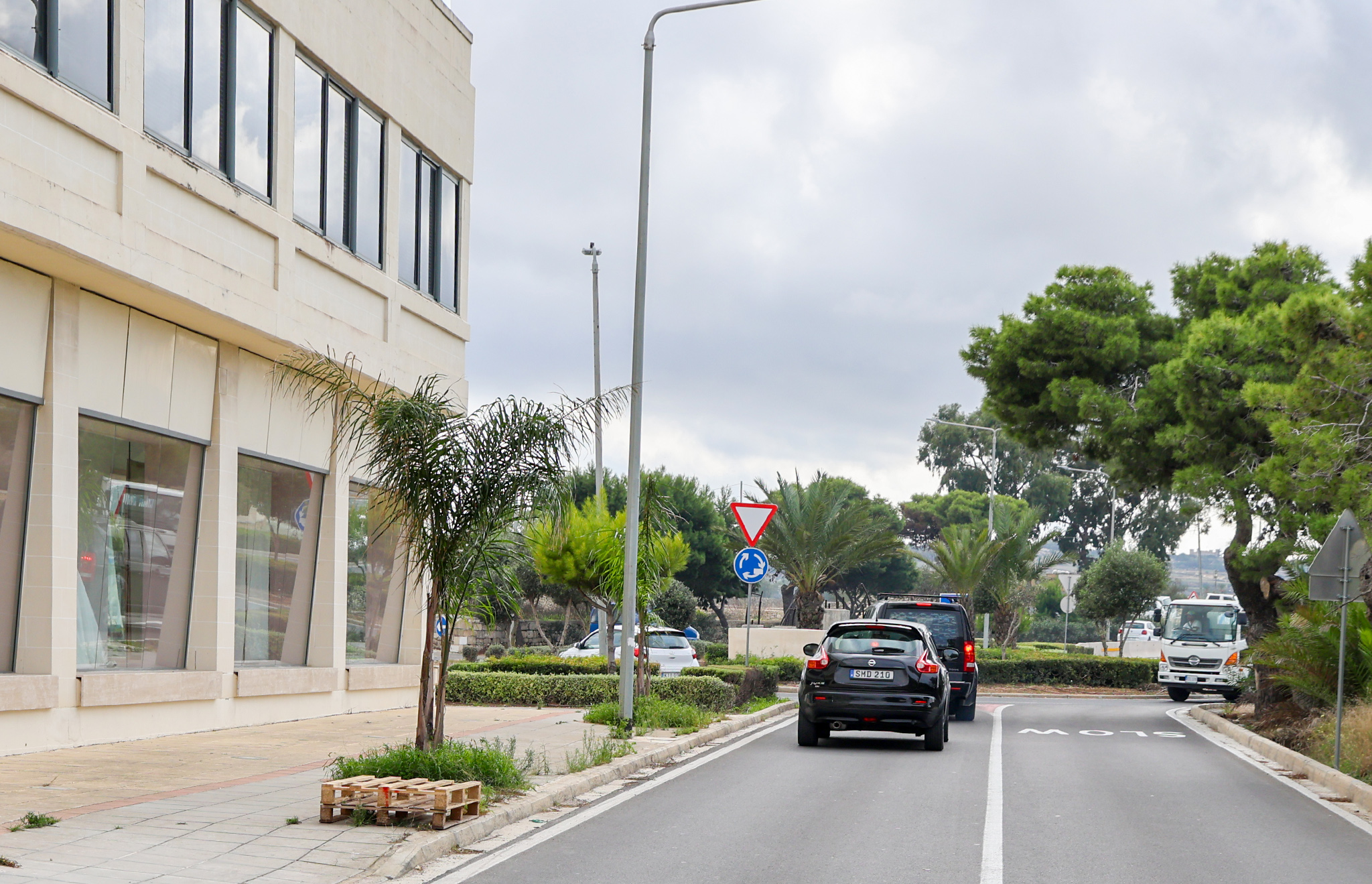
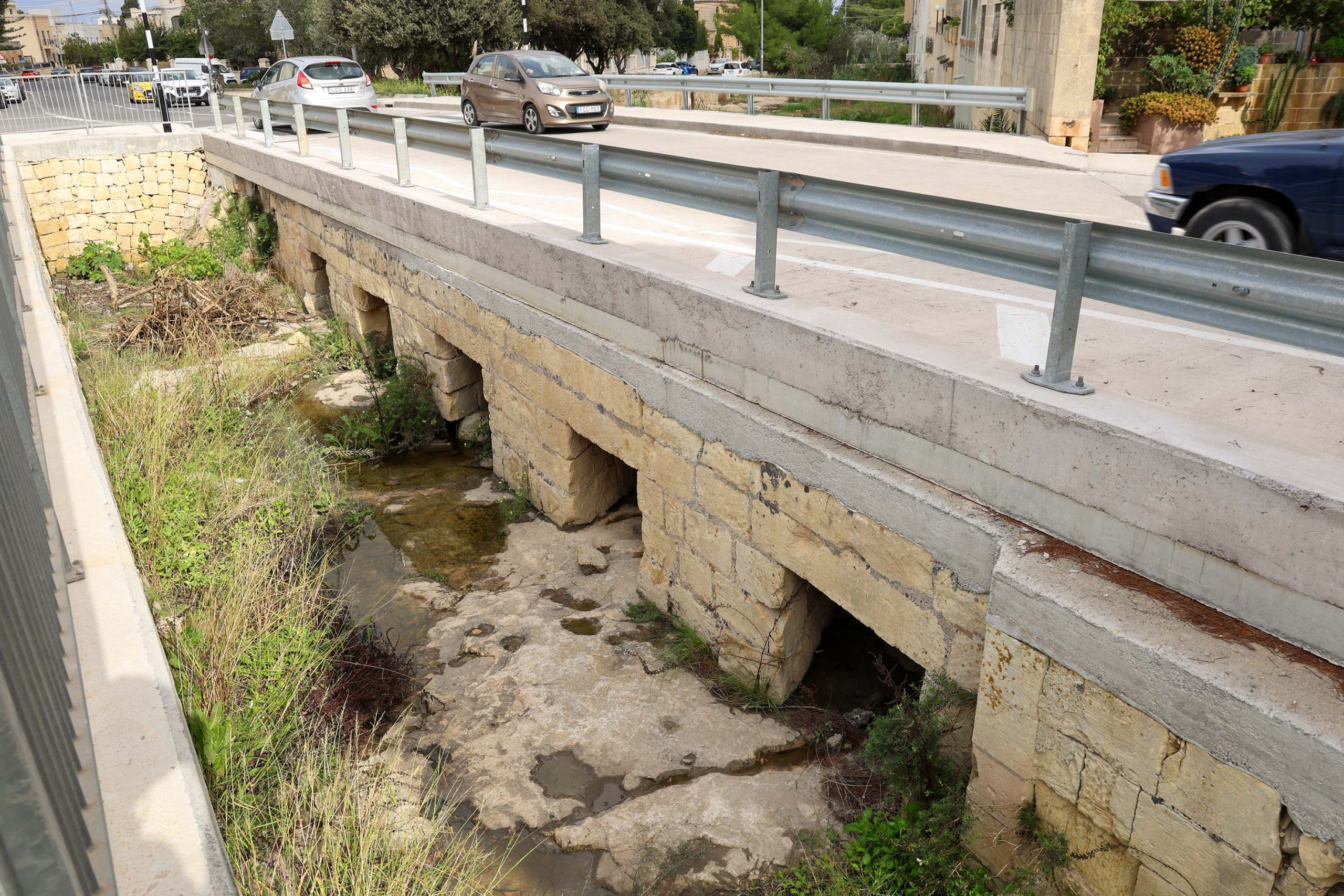
The northern limits of San Salvatore station are demarked by a seasonal stream that the railway bridged with a simple stone structure; this survives beneath the present road. As with much of the surviving infrastructure on the station site, it’s been badly treated by road improvements. Whilst the western side of the bridge is the original, the downstream side has been lost to road widening.
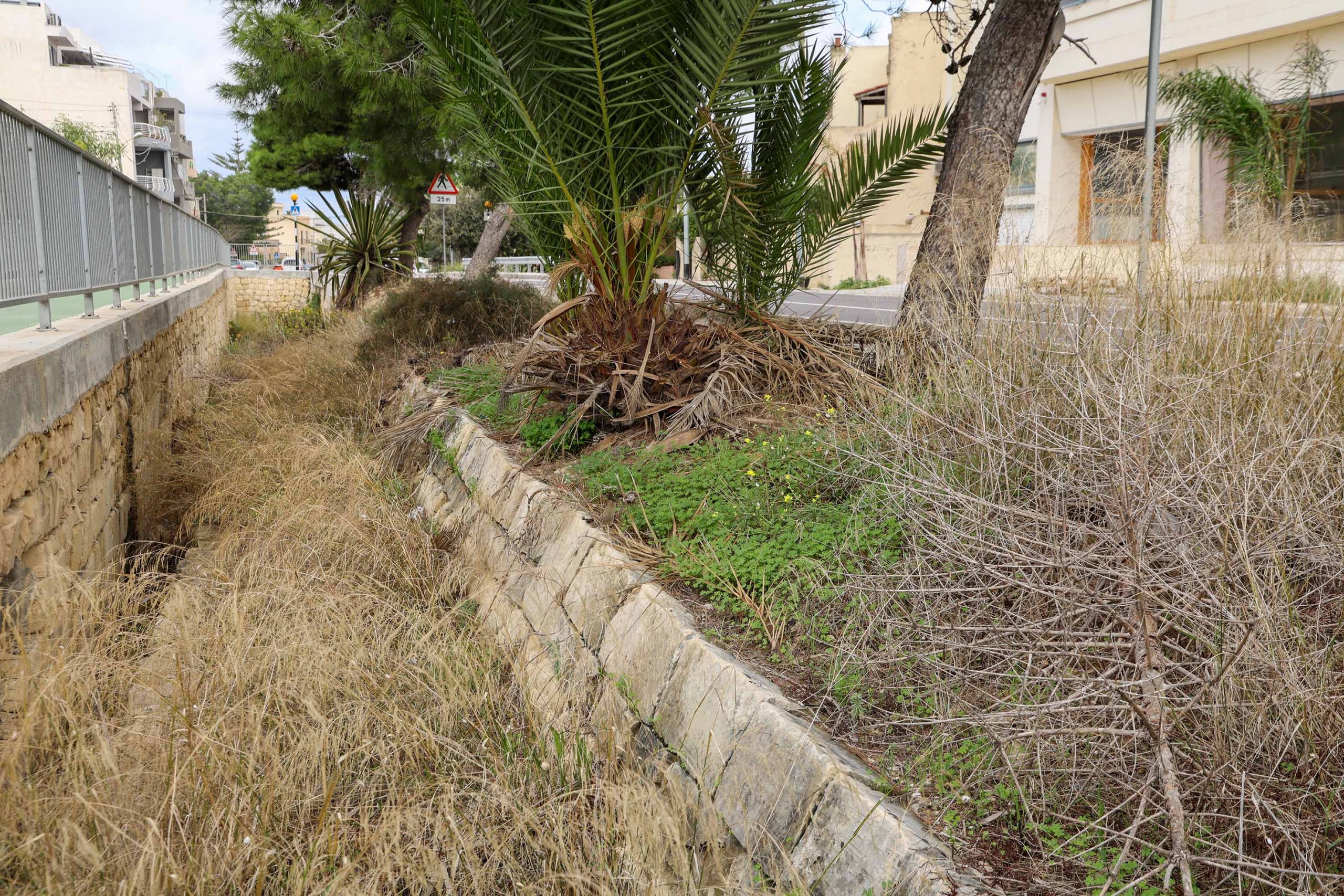
On the western side again, a new cycle path runs parallel to the road. Despite causing some damage to the retaining structures supporting the station, it at least deviates around most of them.
San Salvatore station was the last level ground before the ascent towards Mdina and a passing loop for trains was built here. There are two retaining structures creating a terrace for the tracks and platform; An ashlar-built stone stretch of embankment walling is supported in turn by a rougher coursed buttressing section, perhaps introduced to arrest subsidence or prevent flash floods undermining the main structure. Today the cycle path slices uncomfortably close through the base of the lower wall.
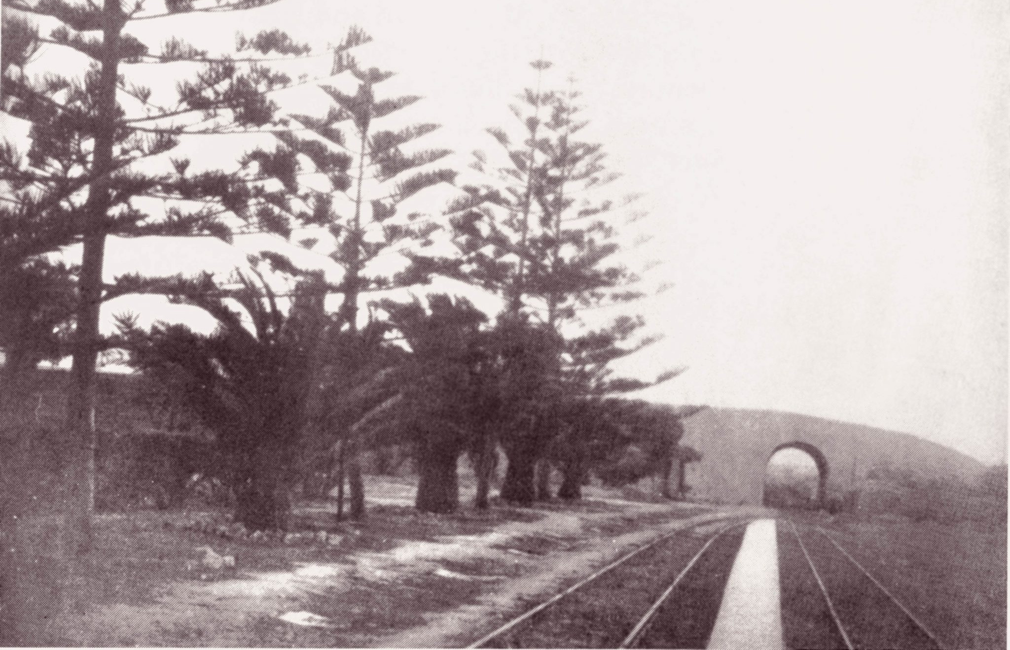
Until very recently some of the original palm trees that lined the station platform still grew. These have since been felled, but new trees planted in their original locations on the east side of the road.
Landmarks in the country
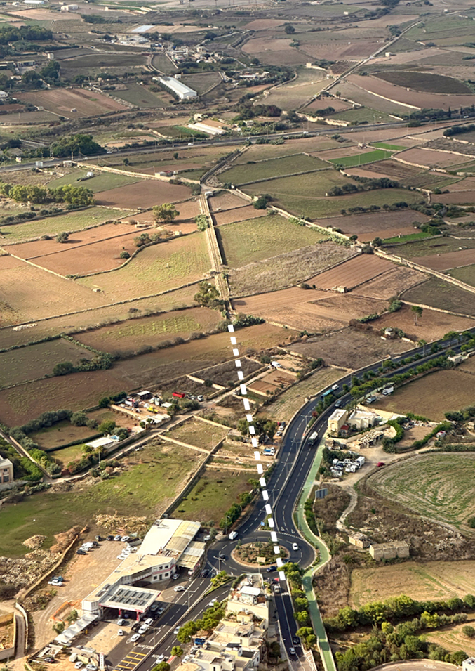
Beyond the station site the railway’s path has been annihilated by a large roundabout and dual carriageway. Nor can its alignment be picked up on the other side, where agricultural fields have erased any trace of the trackbed. Any walker will need to take a detour to re-join the line some way beyond.
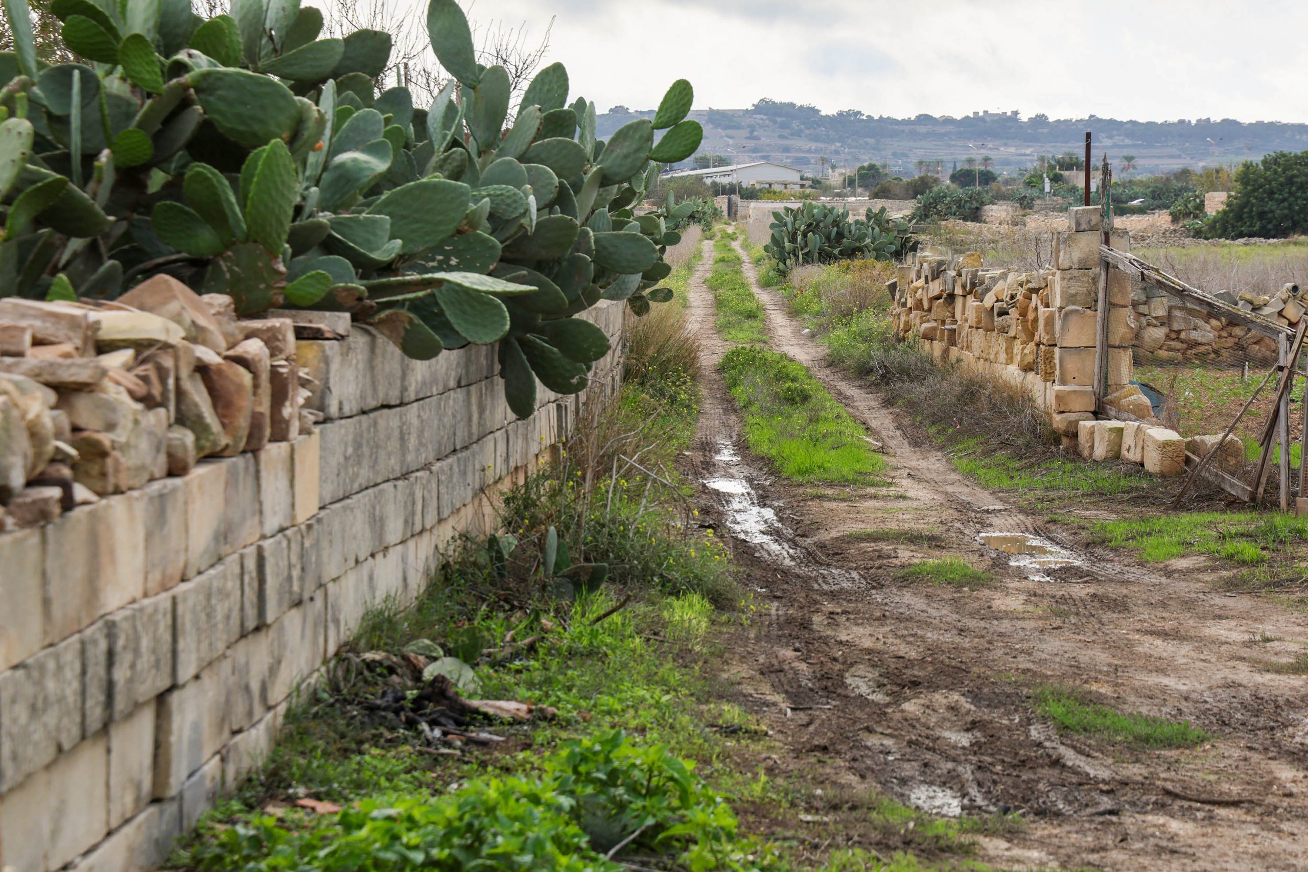
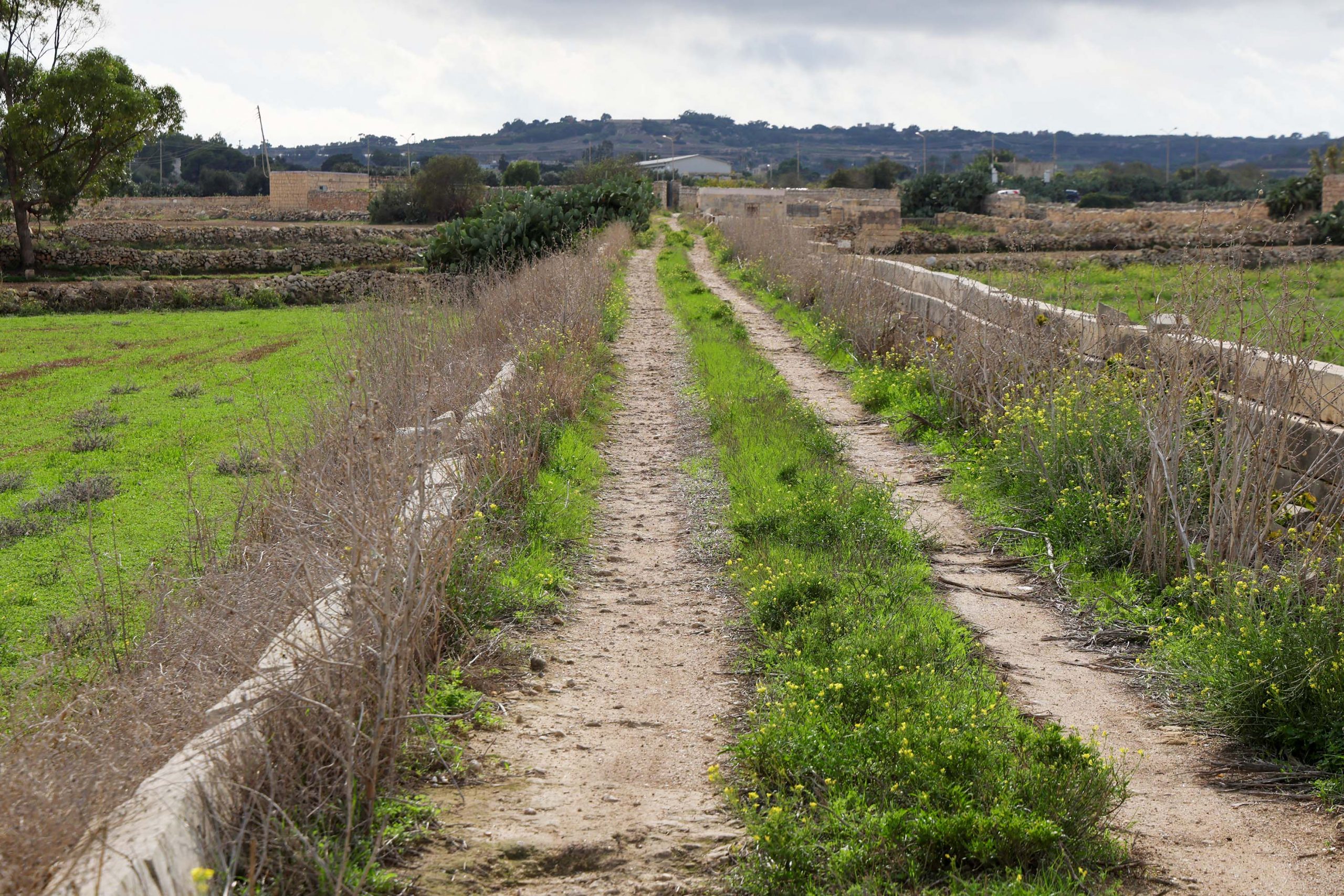
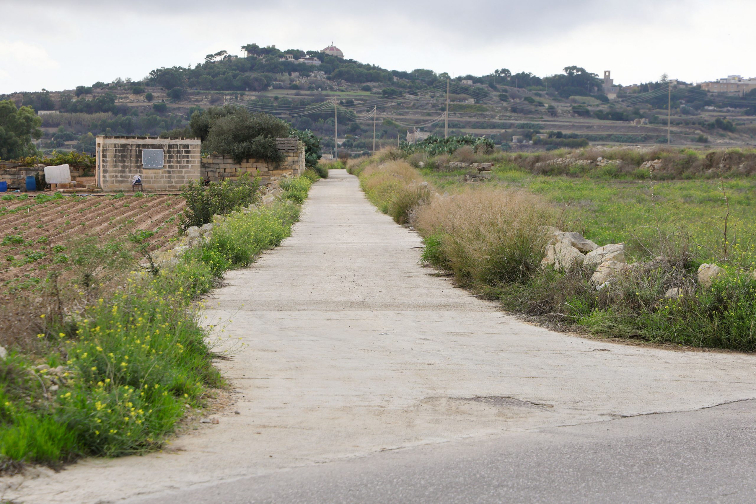
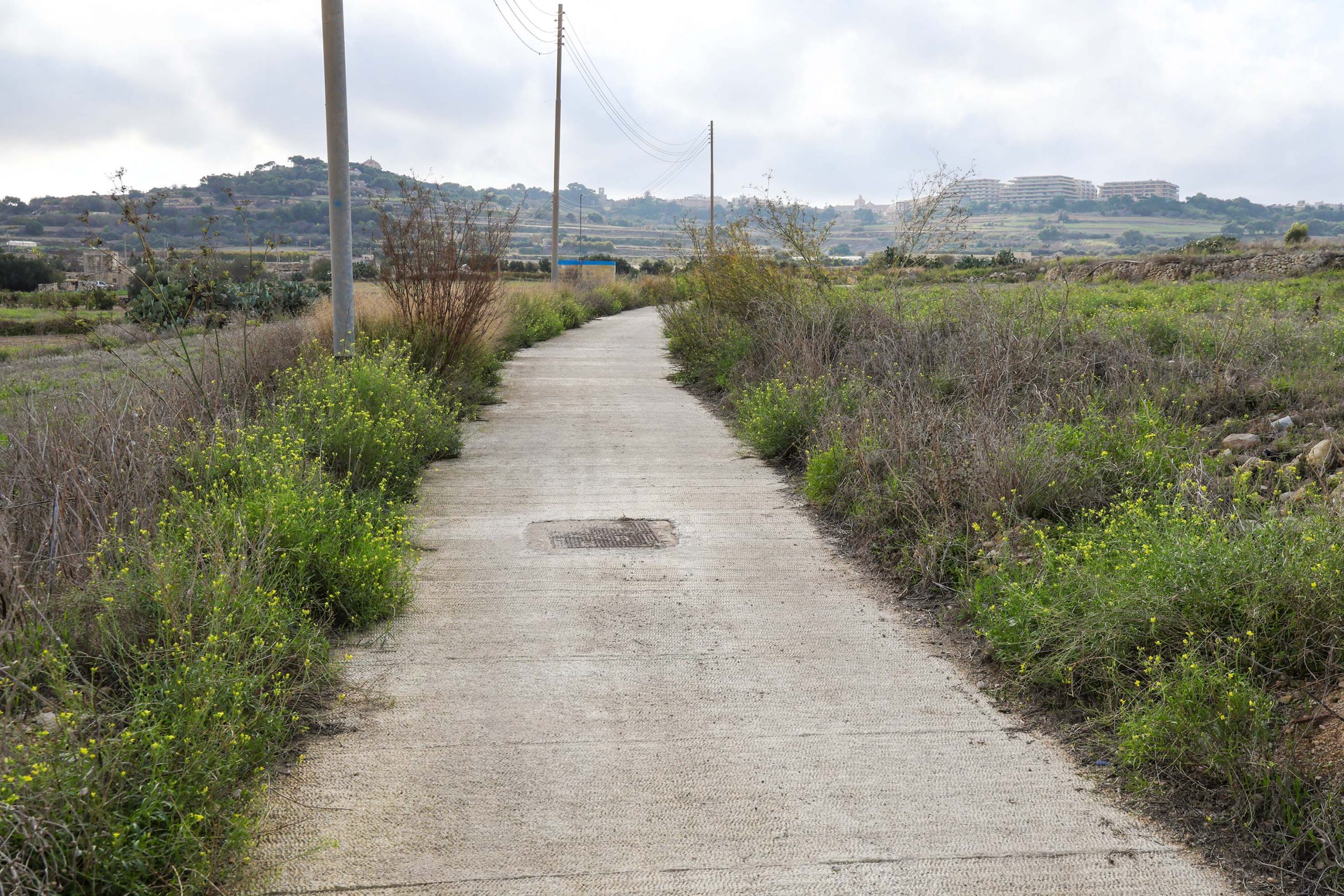
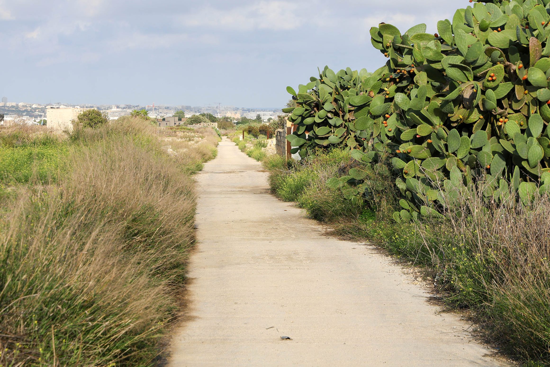
The stretch between San Salvatore to Notabile station is some of the most evocative and tranquil on the old line. Although now in several fragmented sections, much of the former railway alignment has been reused as rural lanes.
Anyone wanting to explore the full length of these lanes will be faced with several dead-ends and need to retrace their steps, but it’s worth it if only to claim you’ve full railway experience! Please be respectful and do not trespass on neighbouring fields.
To re-join the line after San Salvatore, you need to walk a short distance west along the Mdina road, now a busy dual carriageway, and take the first lane on the left. This will re-join the trackbed at the lost site of Guard hut 12. Turning back towards San Salvatore station (you’ll need to return the same way) you’ll encounter some interesting sections of rural railway embankment. These are worth inspecting despite the lane ending in a dead-end where fields replace the line.
Back at the site of guard hut 12, the line continues as a lane towards Mdina for a short distance before hitting another dual carriageway. Great care is needed in crossing here, and the alignment of the railway cannot be immediately re-joined on the other side. Dense prickly pear and private land block the way here, and another detour is necessary.
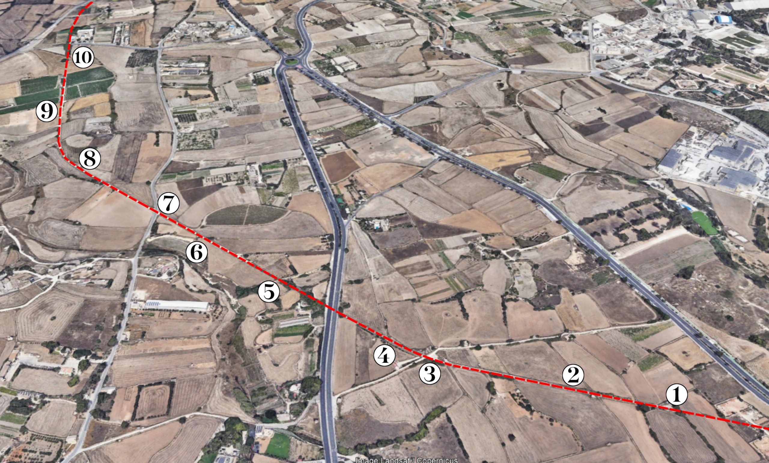
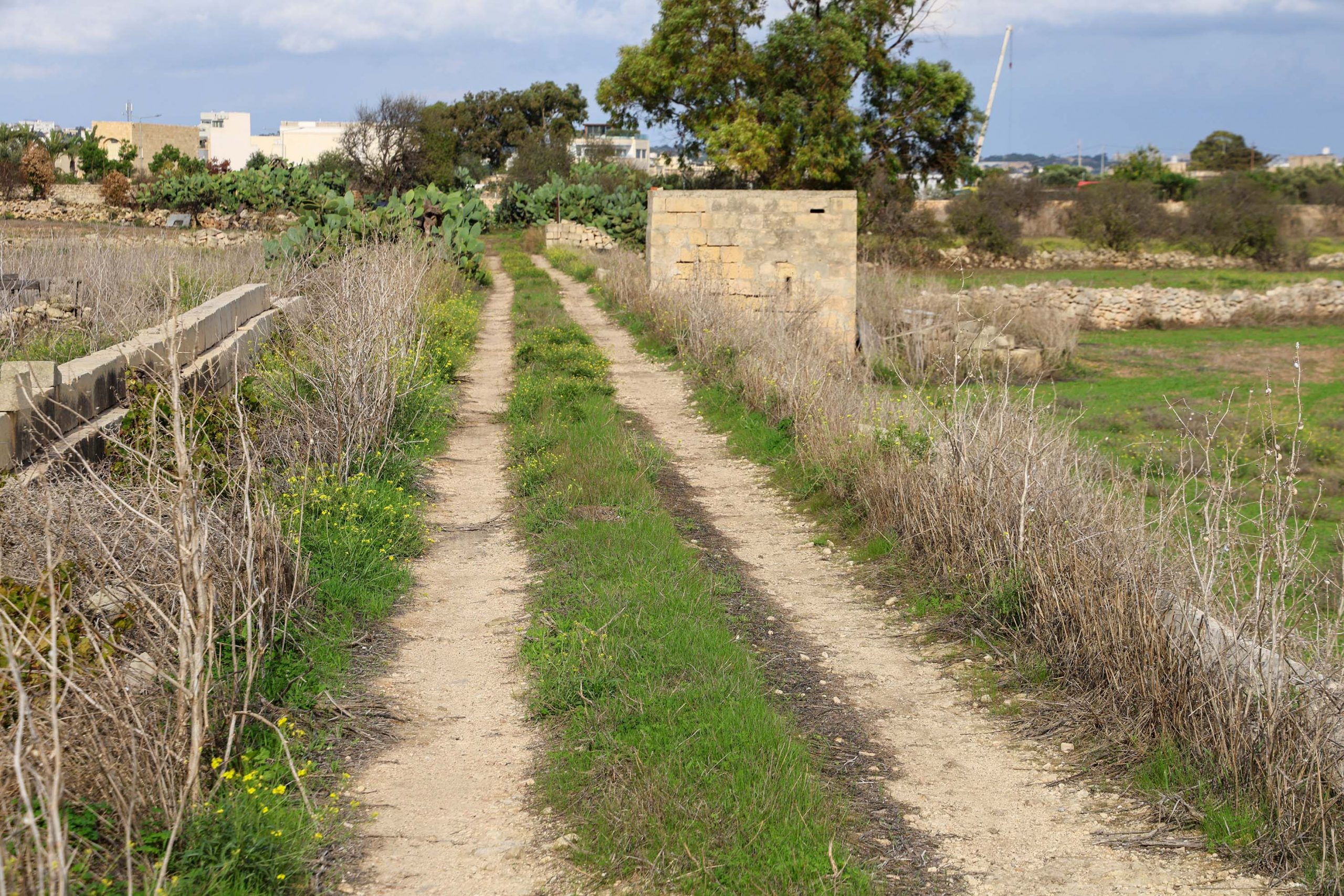
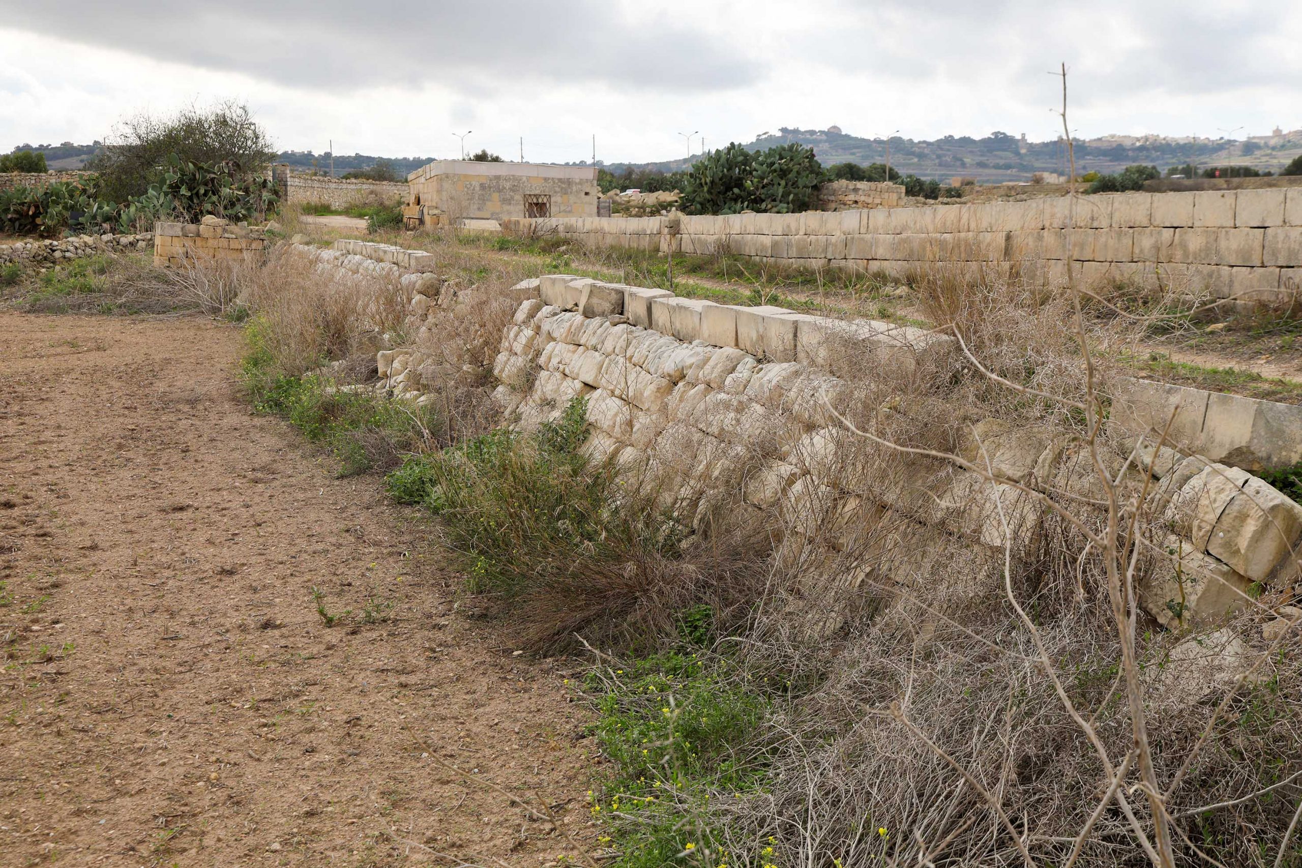
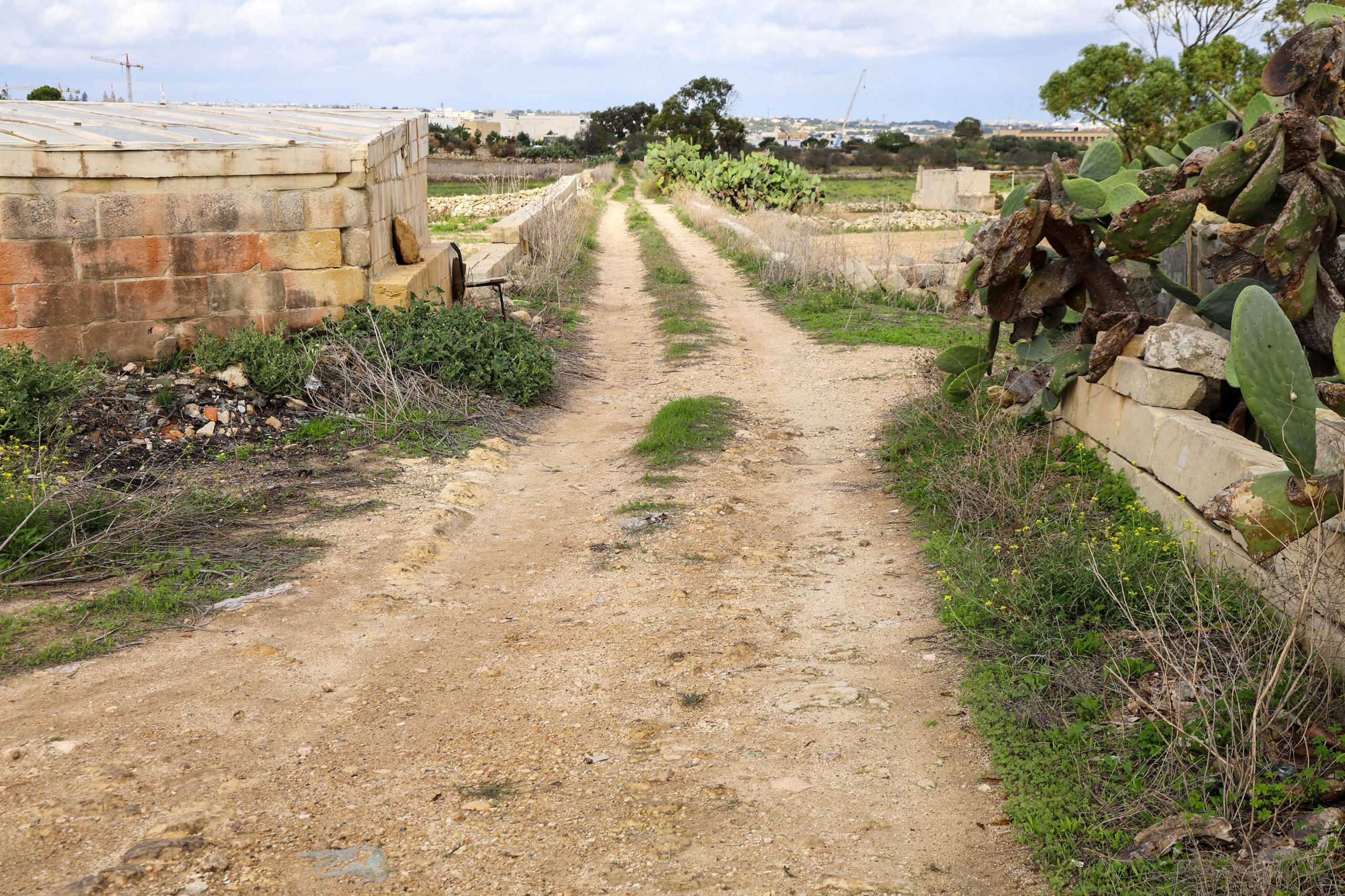
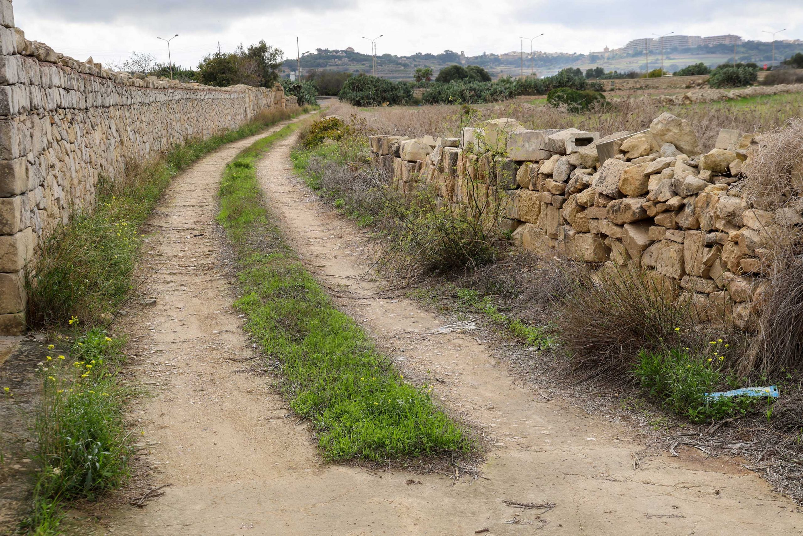
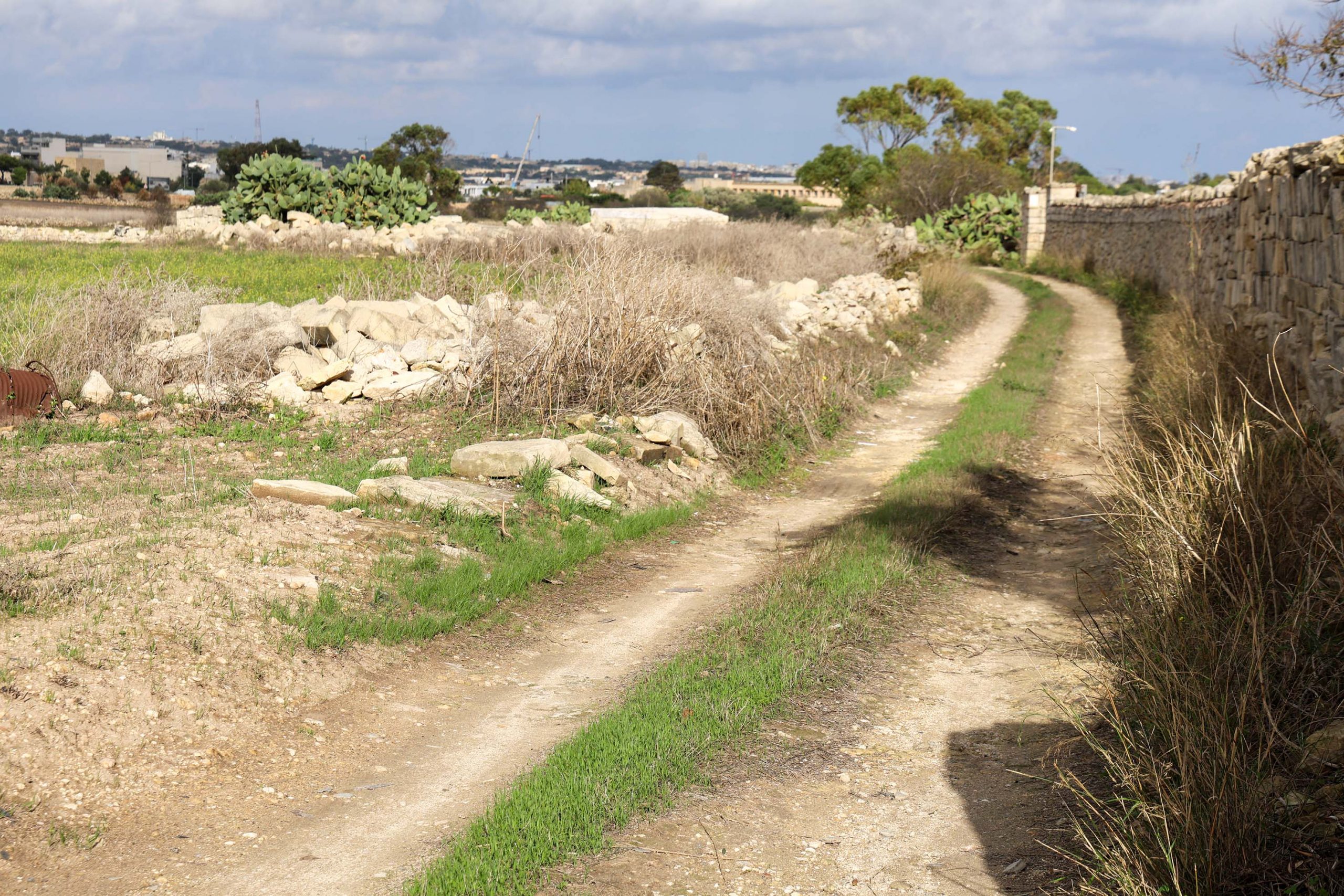
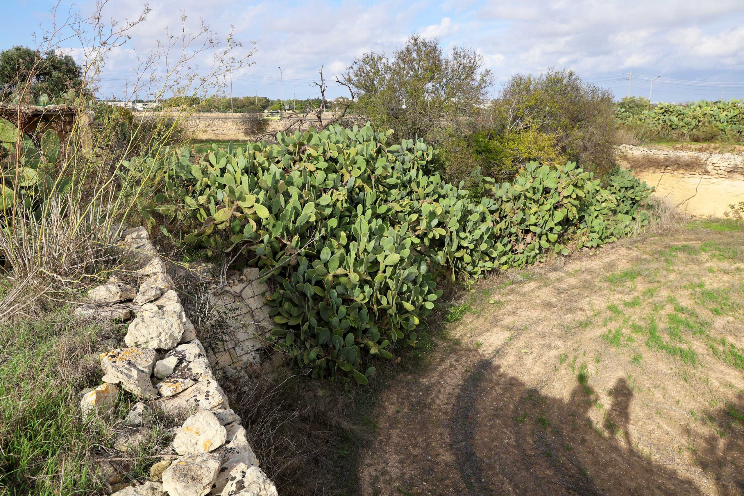
Walkers will need to head away from Mdina along the main road and take the first lane on the right. The chapel of San Gakbu marks the next junction, where a right turn is required. Crossing a small stream and heading up a short hill, the railway line is encountered again where guard hut No.14 once stood.
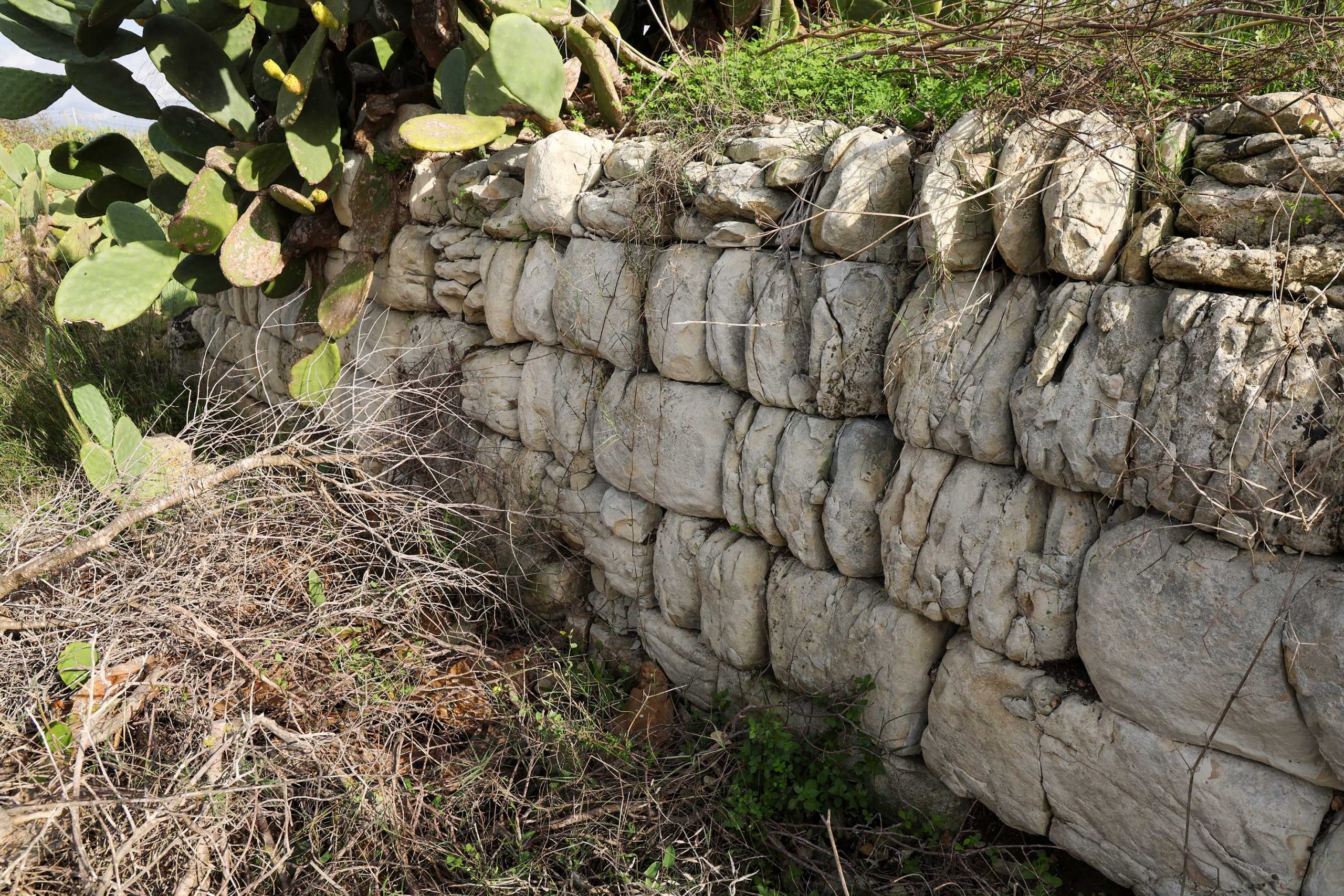
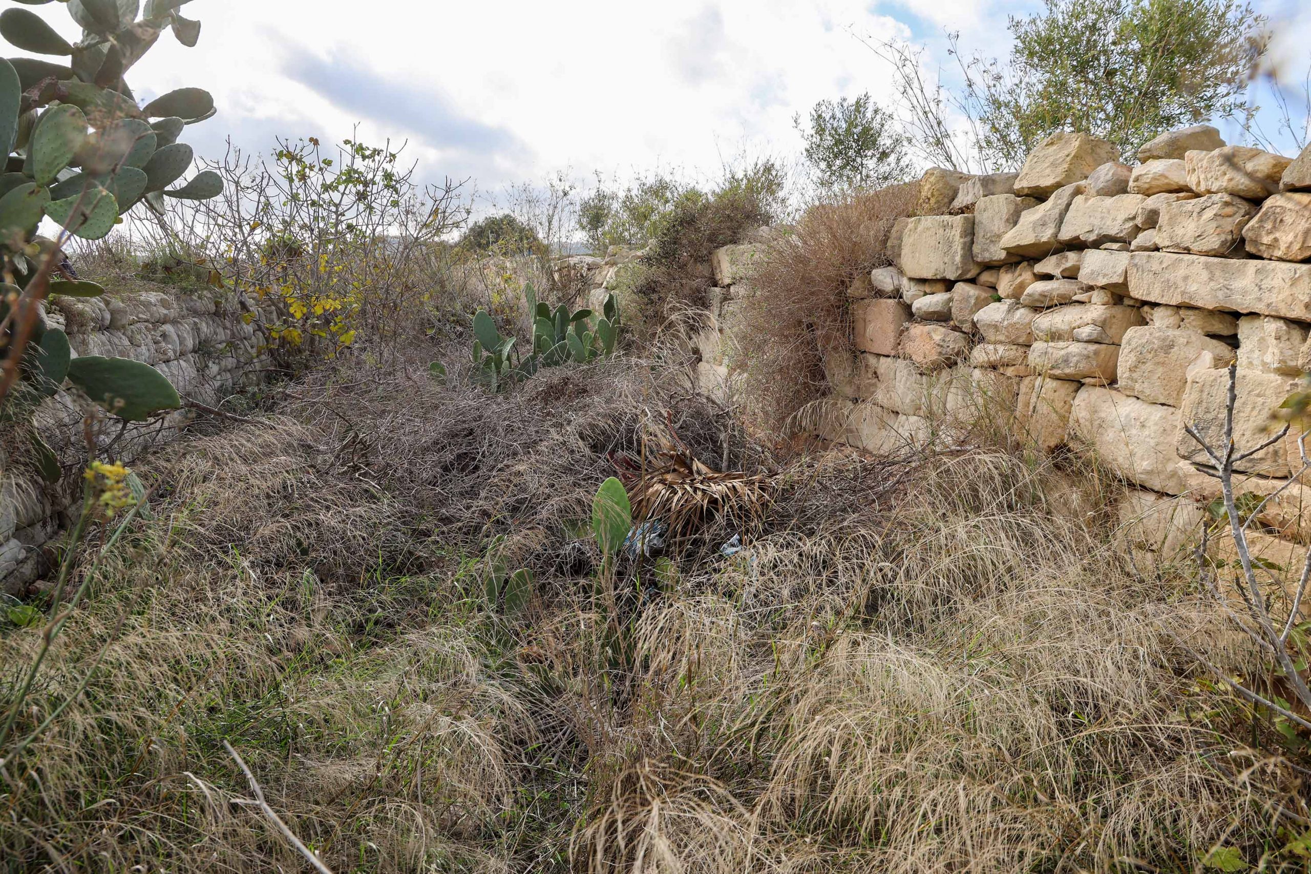
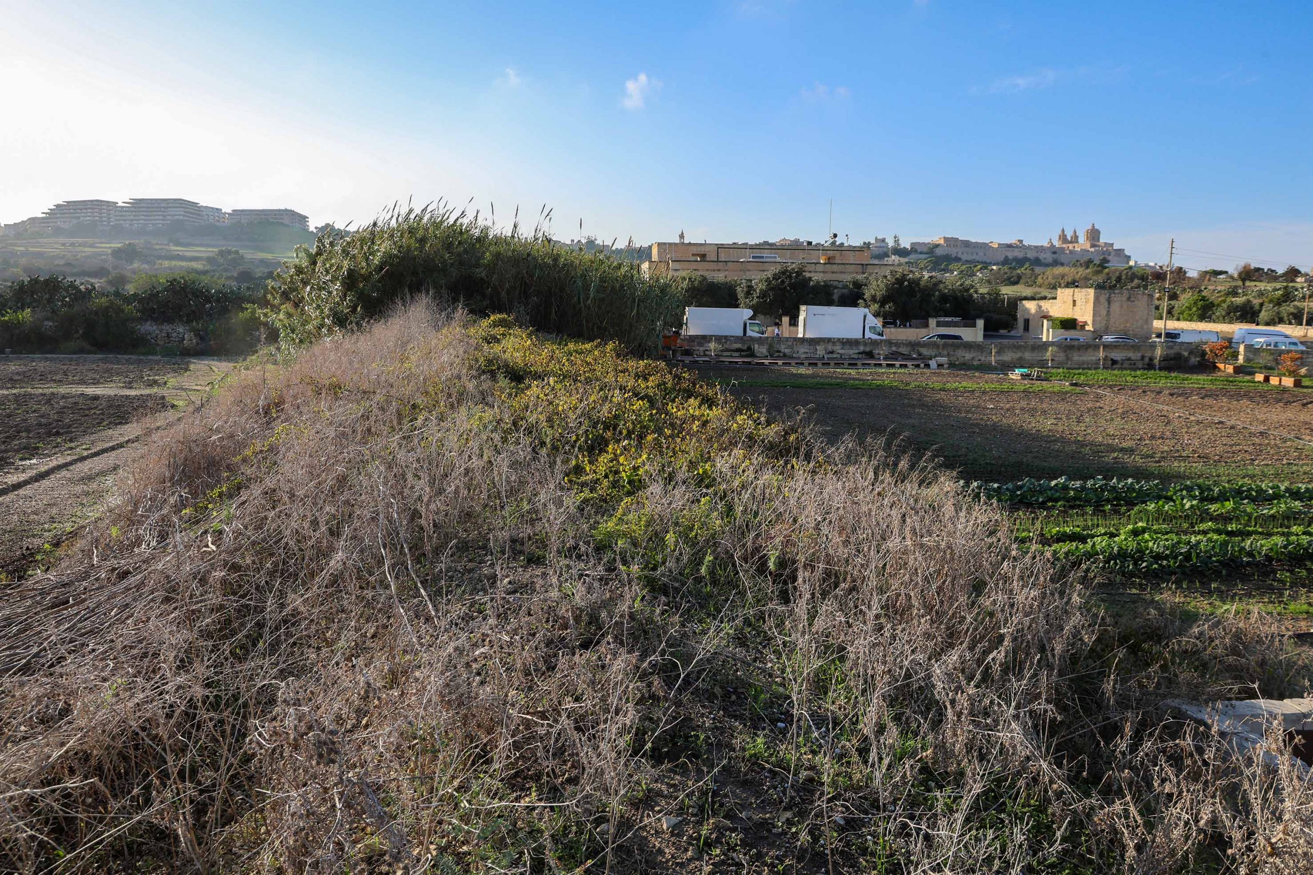
Another evocative cul-de-sac is worth exploring by returning along the trackbed in the direction of San Salvatore. Towards the end of this dead-end there are sections of historic cutting wall, now somewhat overgrown but with some attractive retaining walls. Beyond this, rather obscured by vegetation, is another curiosity.
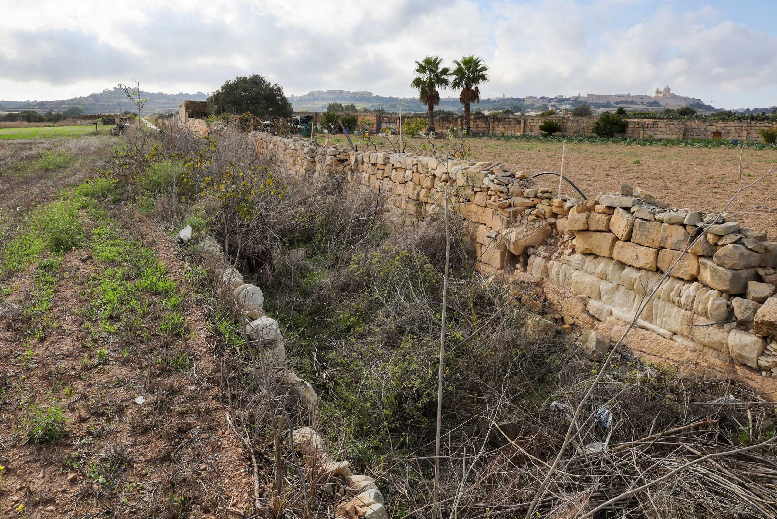
Here the railway was forced to traverse a narrow ravine. A high stone-bult embankment can be seen crossing it before the trackbed passes immediately into the low cutting on the Mdina side.
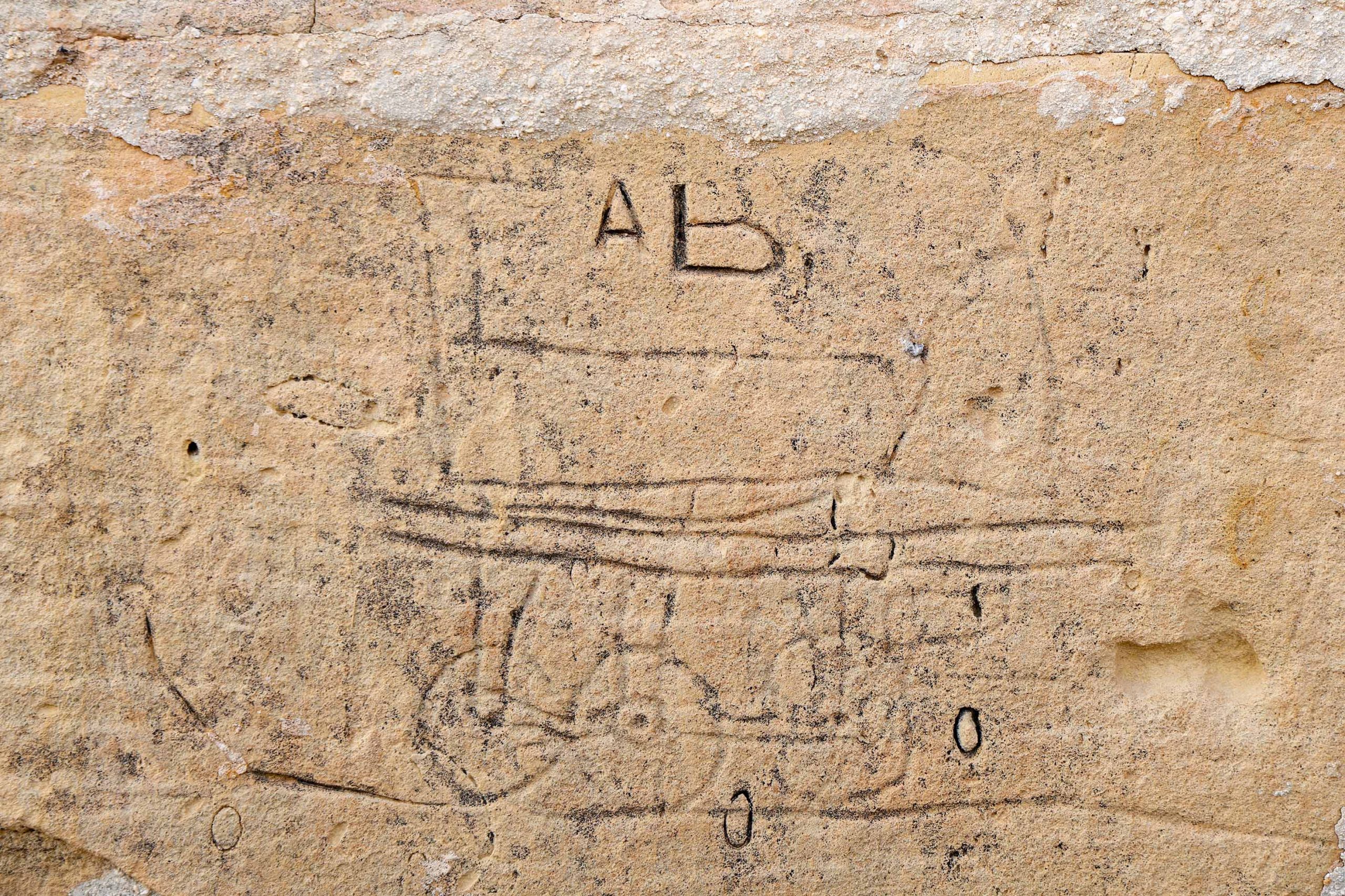
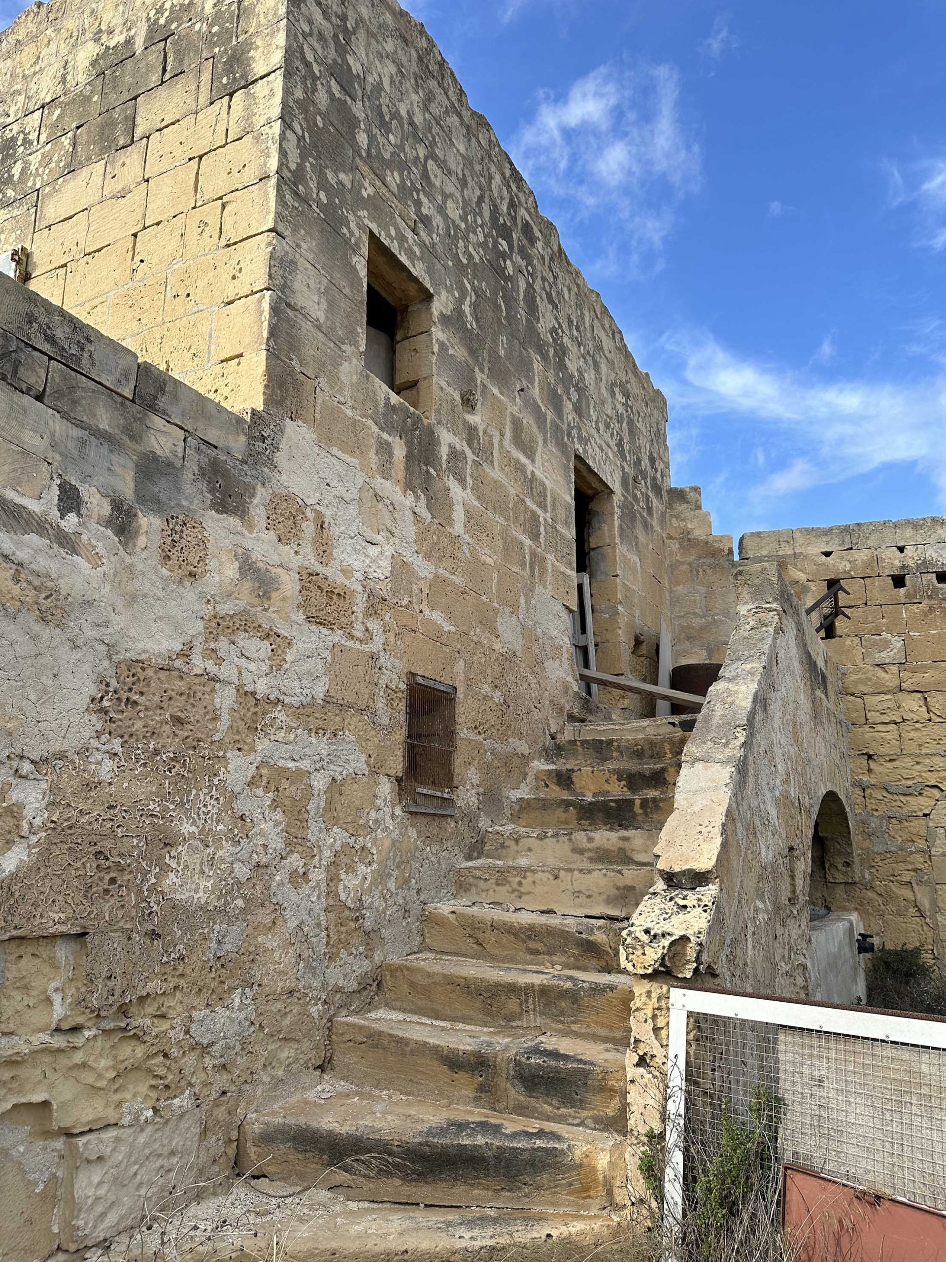
Returning to where we rejoined the line, at guard hut 14, a well built lane continues our railway route towards Mdina. The line takes a curve to the north around the derelict farmhouse at Habel-bellu. This is in private ownership, but is the location of a piece of railway graffiti that probably dates to around the time the railway first opened.
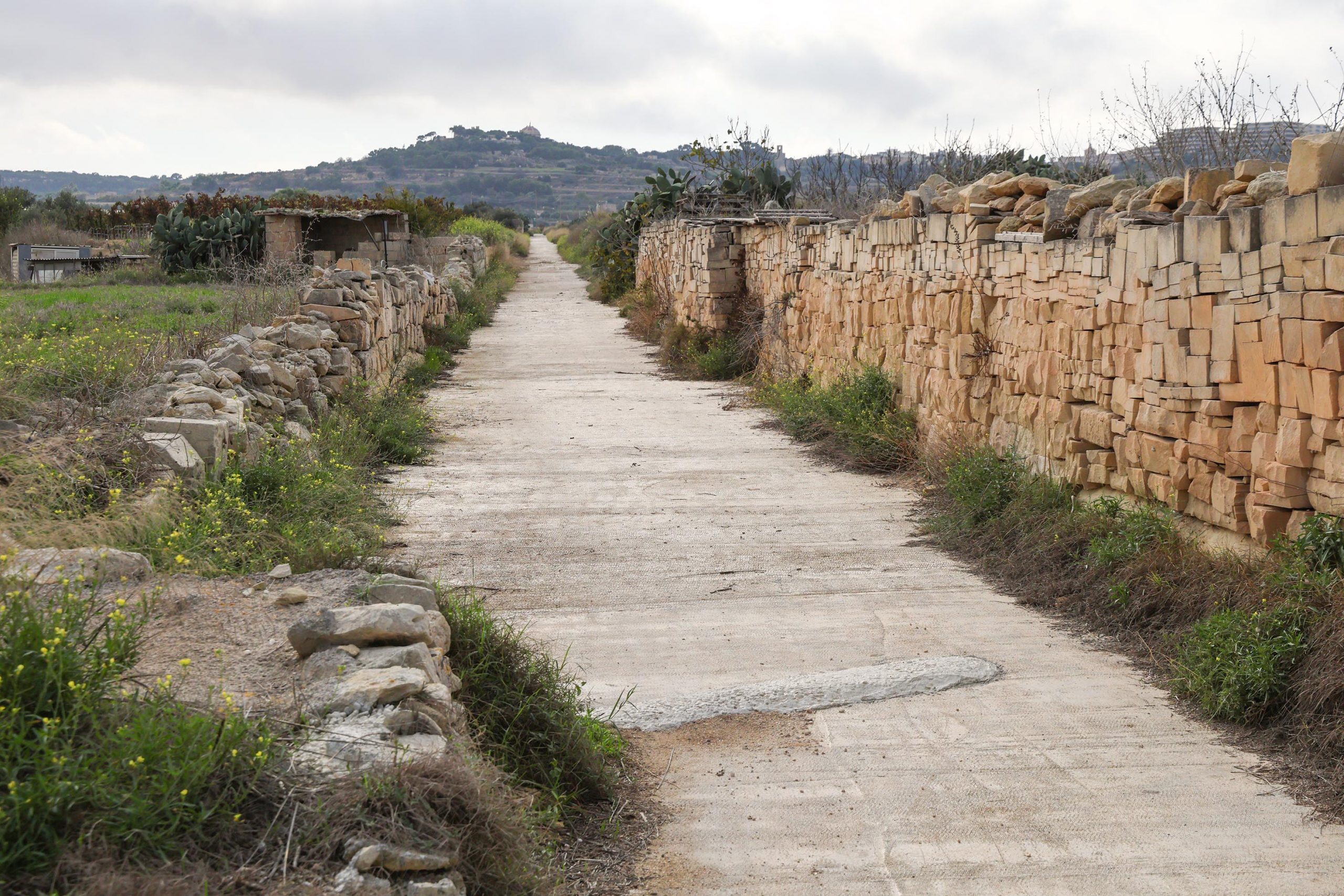
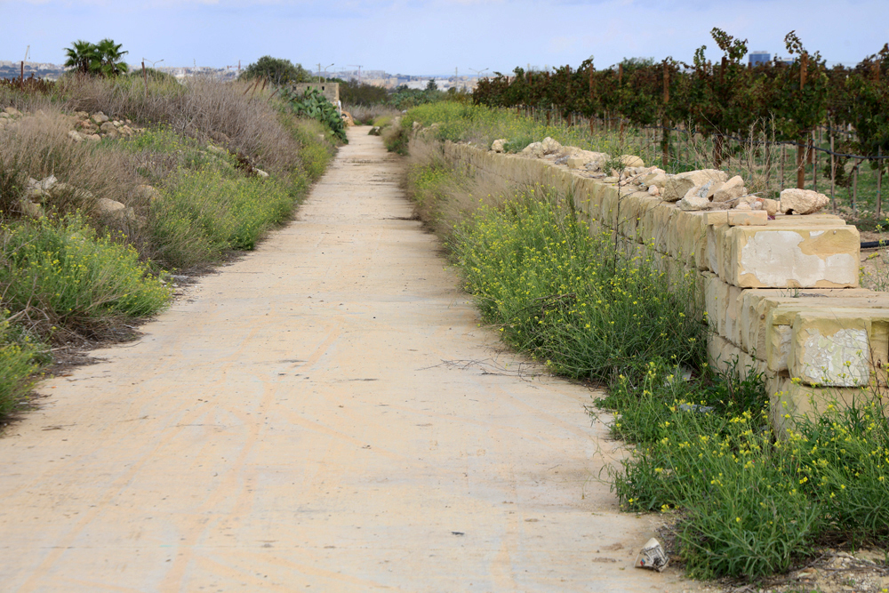
Continuing, the route will end in the gates to a vineyard and a surviving stone-built underpass is no longer accessible beyond it. A farm track leads southwards off the railway line close to Habel-bellu which should be followed, keeping right before the main road, Racecourse Road or Triq It-Tigrija, is met.
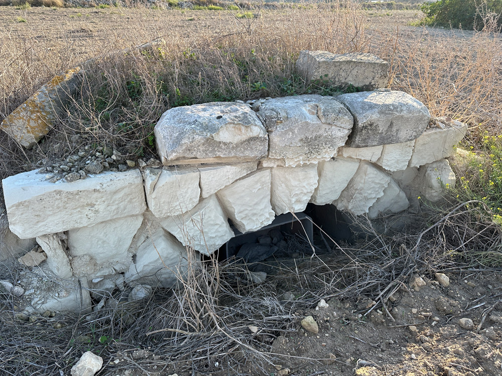
For anyone interested in viewing a further section of the continuing railway embankment it can be found by taking a short detour to the right, up Sqaq Tac-Cawla, where, at Xara Lodge, there was formerly a bridge over the road. The section of embankment on the east side of the road is most pronounced, and a small stone-built underpass is gradually disappearing below the level of the fields beyond it.
We return to the main road and continue towards Mdina. The embankment can be seen on the right crossing fields before entering an overgrown cutting on its final approach to Mdina. This was the steepest section of the line with a gradient of 1:50.
Previous Station / Next Station
