Attard to San Salvatore
A station lost and found
Much of Attard station was built-up on a manmade terrace, supported on stone vaults. This artificial island was demarked by a boundary wall as it is still today. The line approached from the embankment at the east at elevated level, with trains entering the station still on a gradient.
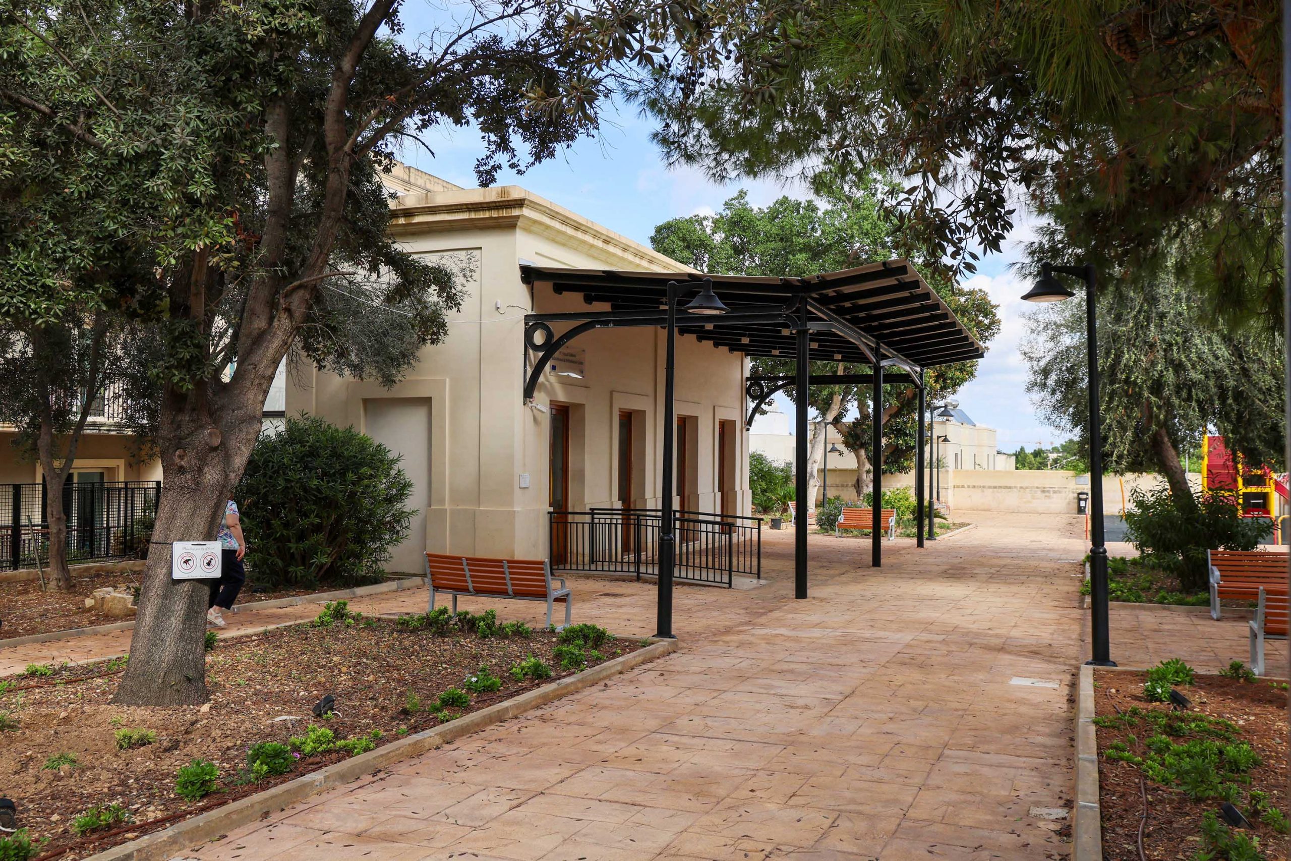
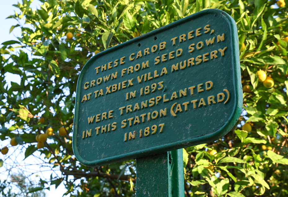
The gardens here were less ostentatious than those at Birkirkara, despite being planned at the same time. Some of the original trees still grow today. Like elsewhere on the line, weeping figs dominate these survivals, but also carob trees planted here to provide shade to the station platform. Nearby, fastened to a repurposed rail, an unusual cast iron plaque commemorates the planting of the carobs in 1897.
Redundant track rails were used again as tree supports and can be spotted, now half-buried in the growing tree trunks. Like Birkirkara, the gardens here have continued as a much-valued park.
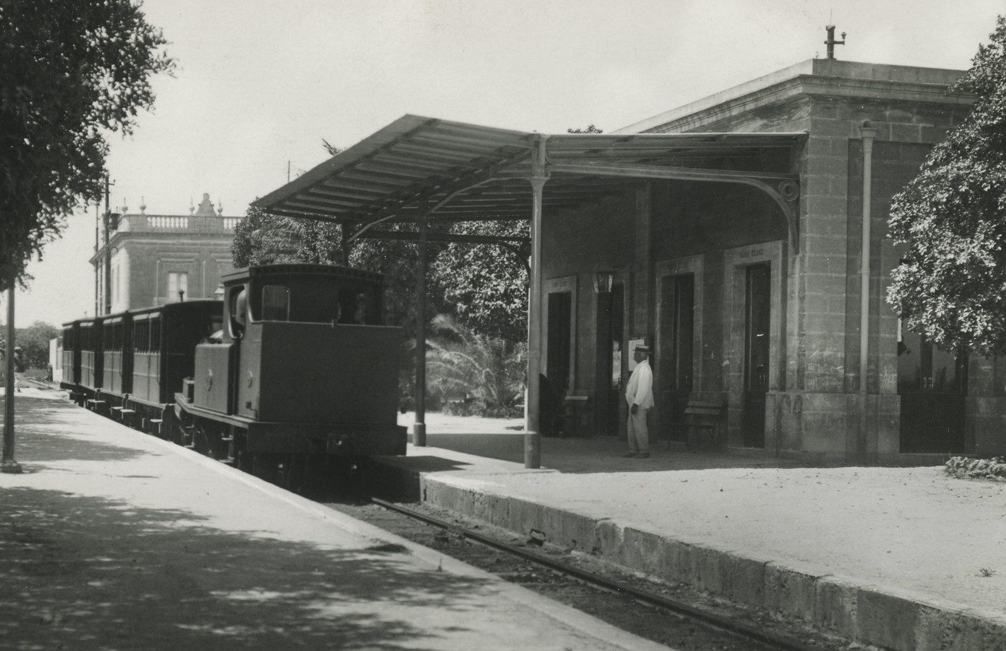
Attard station building itself was a casualty of the Siege of Malta during WWII, being heavily damaged by a stray bomb and subsequently demolished. Other buildings, including the ticket office and latrines, survived longer, but were eventually removed for road widening.
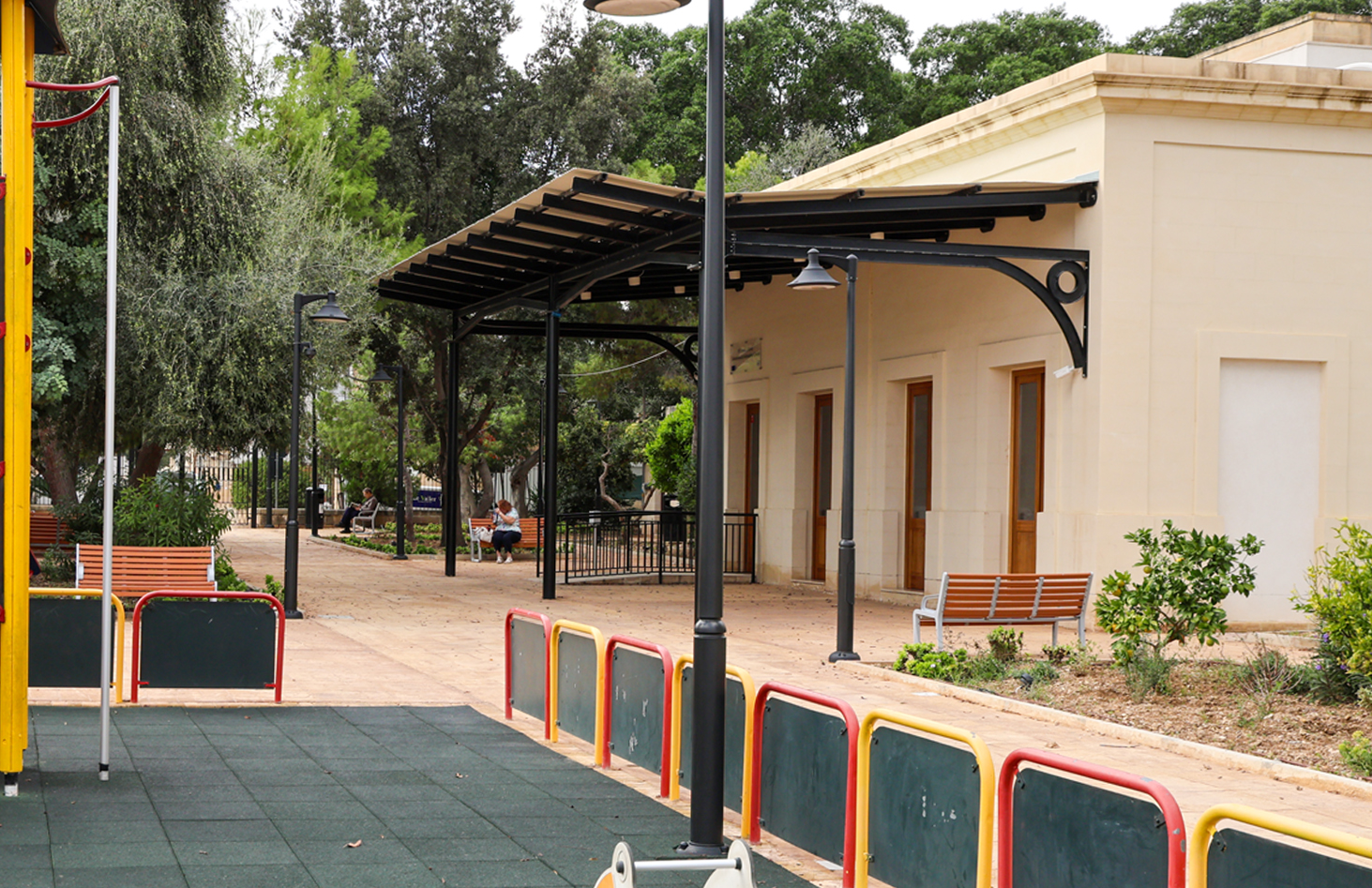
Not everything has been a downward spiral though, and the bombed station building was reinstated in its original location in near-facsimile in 2024. Supported by the Malta Railway Foundation the reconstruction is now a local branch library.
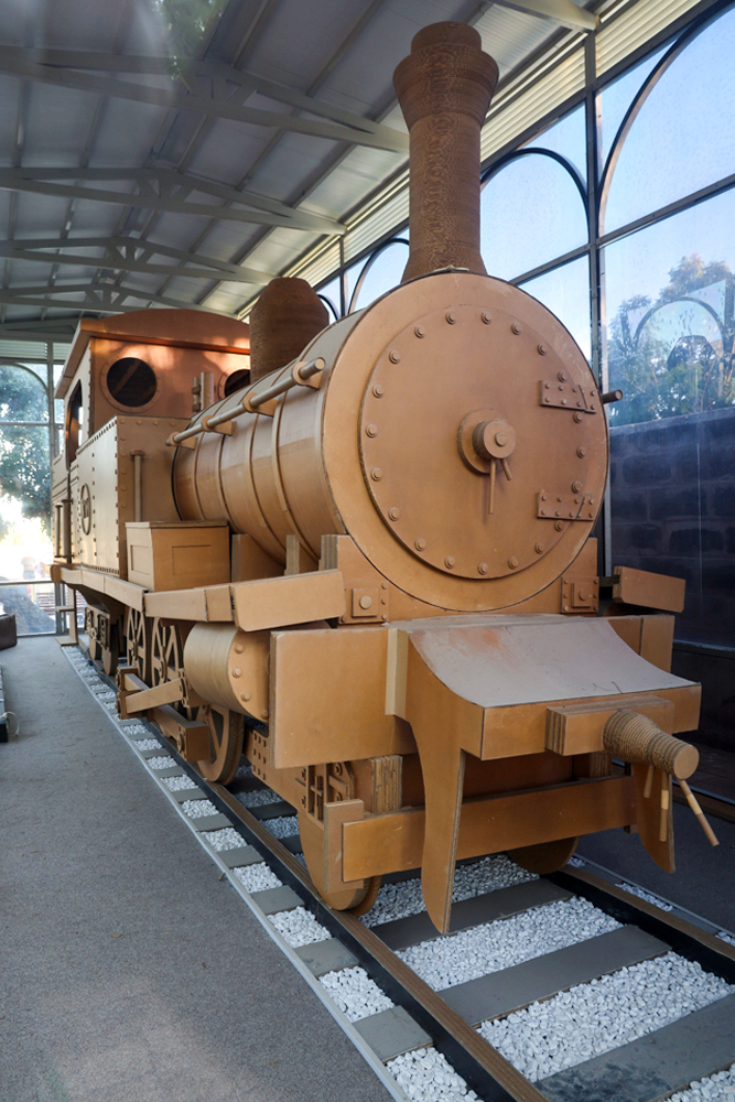
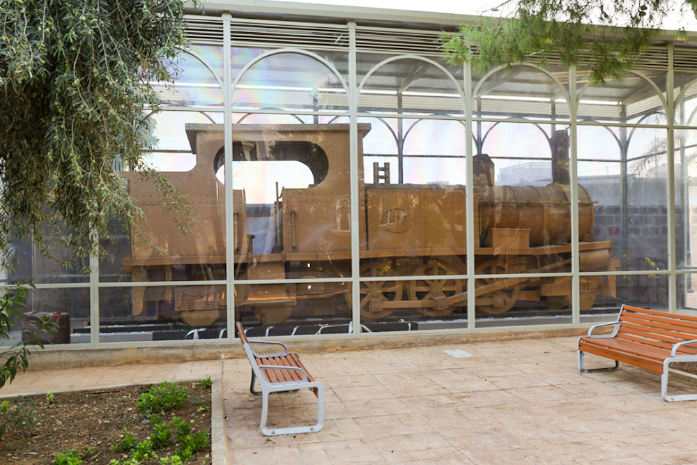
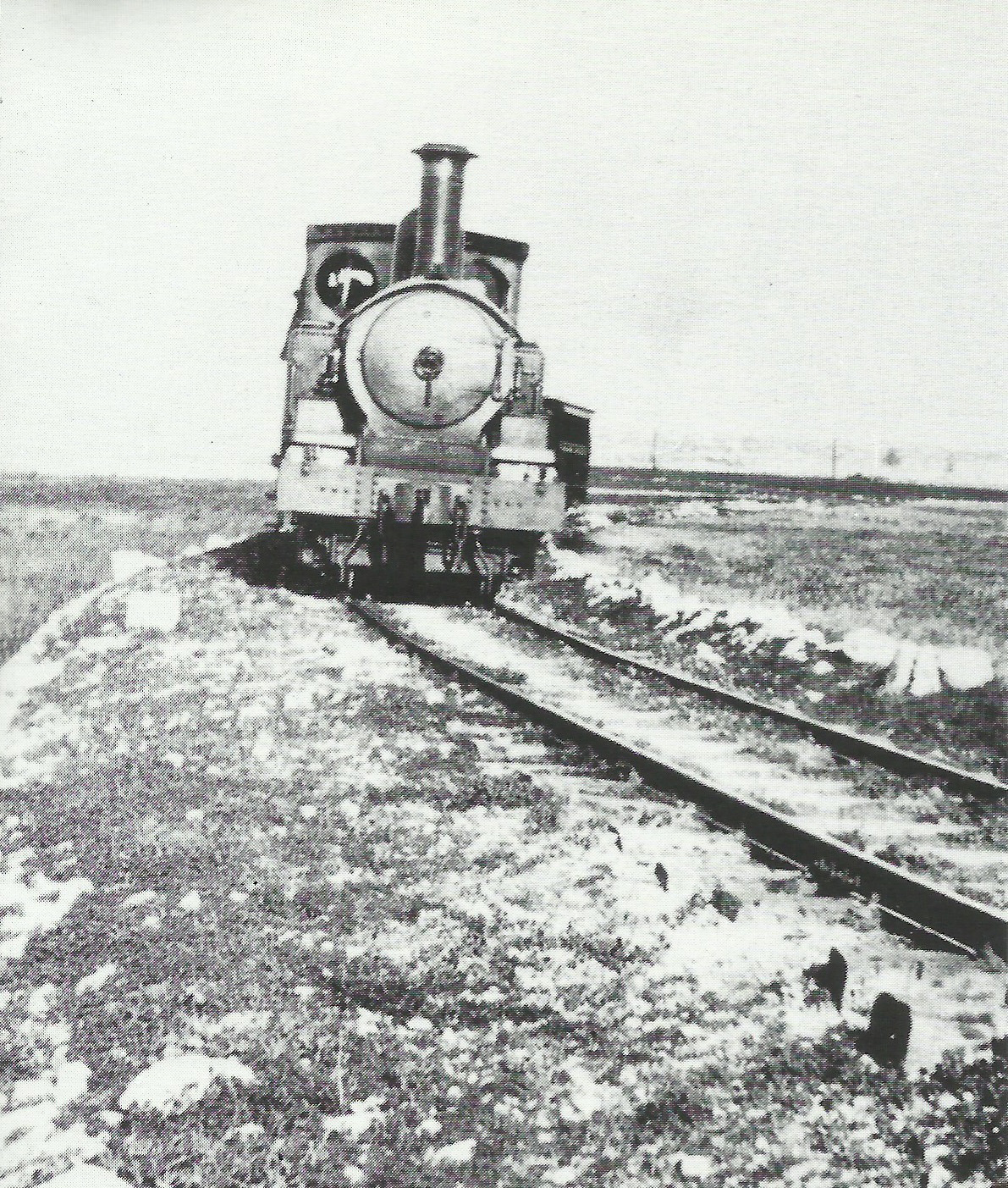
Another fantastic addition has been a complete full-sized replica of one of the Beyer Peacock locomotives executed entirely in corrugated carboard. Weighing in the region of two tons, the engine was reconstructed to the original plans by Stephen Bonello in 2016 and is now permanently displayed in a purpose-built shelter.
Tangible traces
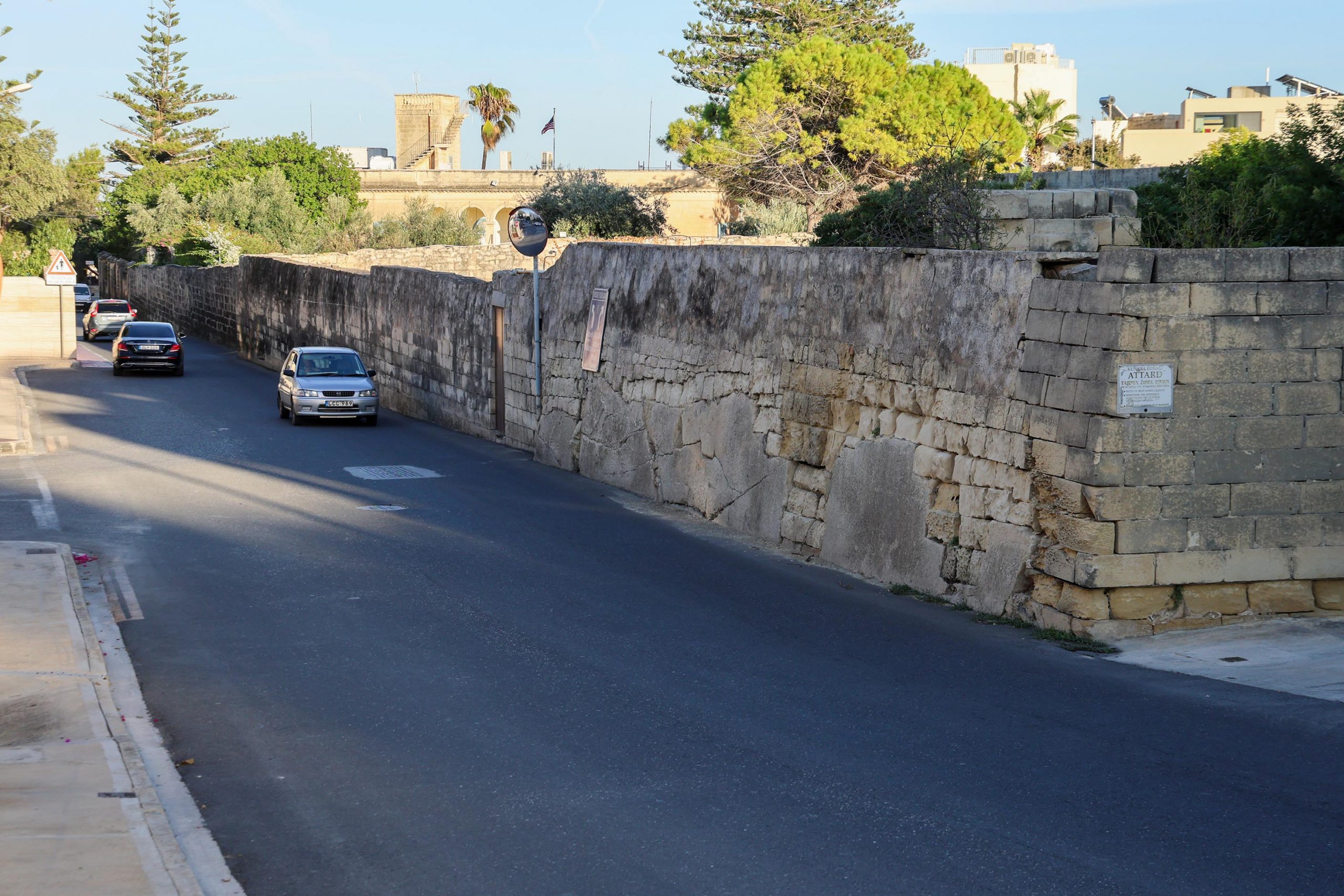
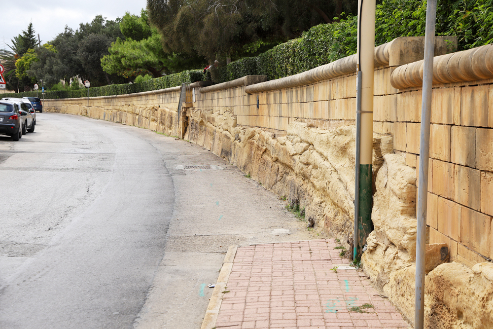
Westwards from Attard, the track alignment is again replaced by the road. It ascends into a cutting, once one of the deepest on the line, but now only the southern retaining wall survives. Road widening and regrading have removed and buried much of the former cutting which had survived the closure of the railway for decades.
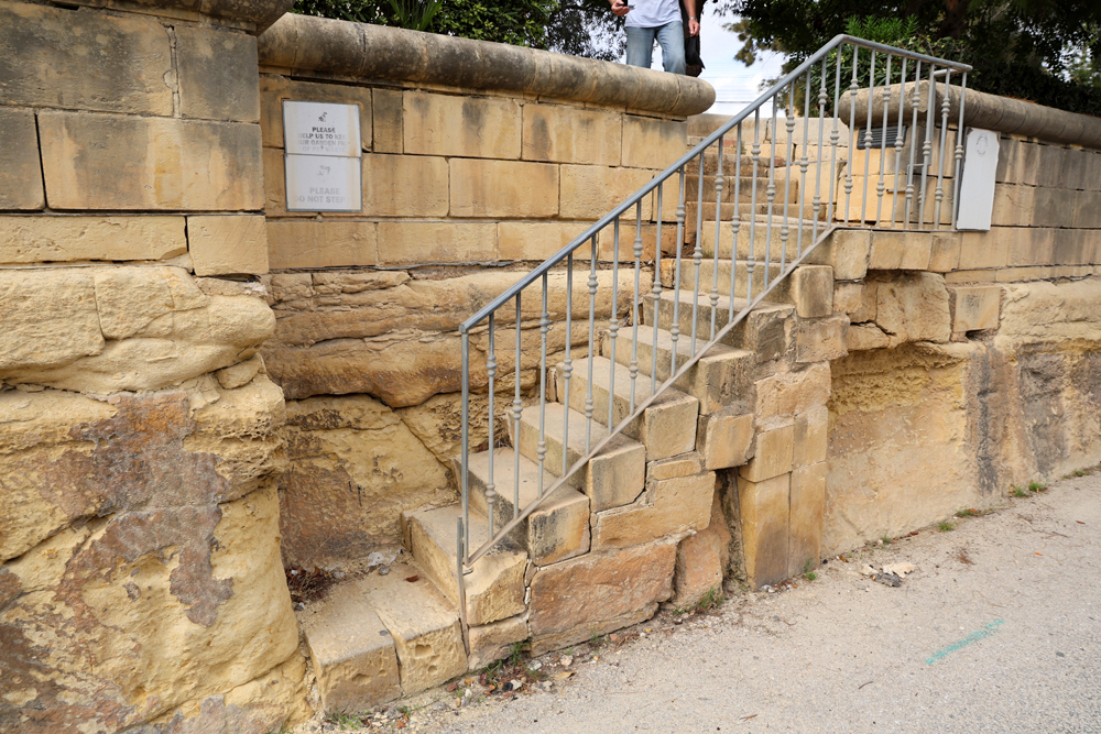
The exposed section of wall here exhibits some interesting features. As well as the distinctive steps cut into the bedrock, for the convenience of farmers wishing to cross the line and since infilled, there are the scars associated with the crossing of the Wignacourt aqueduct beneath the line. Formerly syphoned below the tracks by means of a pipe, the blocked access opening can still be identified. On the higher land behind it, a short tower projects above the modern wall; this was the inspection chamber where the pipe connected back into the historic aqueduct structure. More on this here.
Just beyond this section of cutting wall the road rises abruptly, marking the commencement of the long section that’s been infilled.
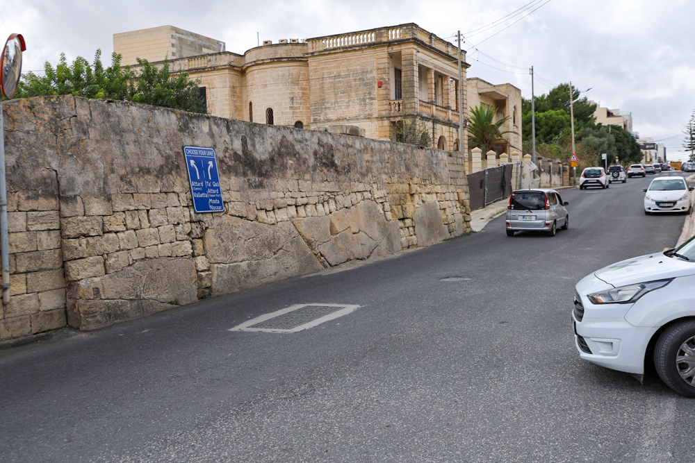
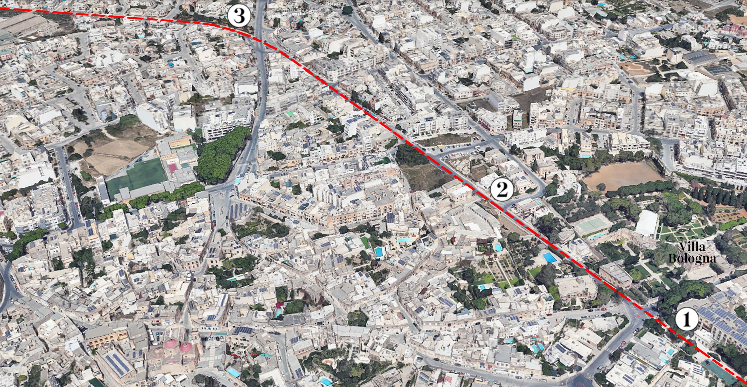
The railway continues uphill before adopting a gentle curve to the south before crossing the Mosta Road. Beyond the car parking and traffic, the road faithfully adhering the former trackbed recommences.
Pjazza Pubblica, a public park, fringes the northern edge of the line here, raised above it by a curving length of cutting wall. As elsewhere on the line, the narrow cutting has been widened out on the opposing side to accommodate the width of the road that adopted the original course of the railway.
More signs of steps leading down to track level can be found along this stretch of wall, the entrance into the park on this side likely reusing one of the more substantial original sets.
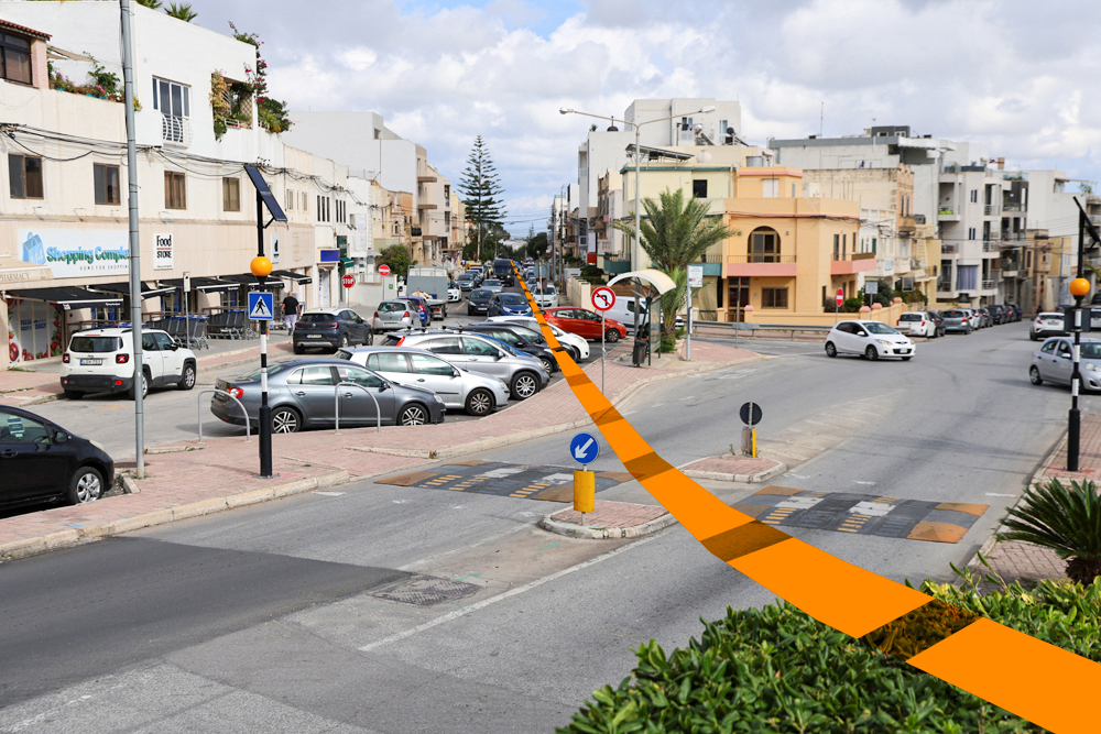
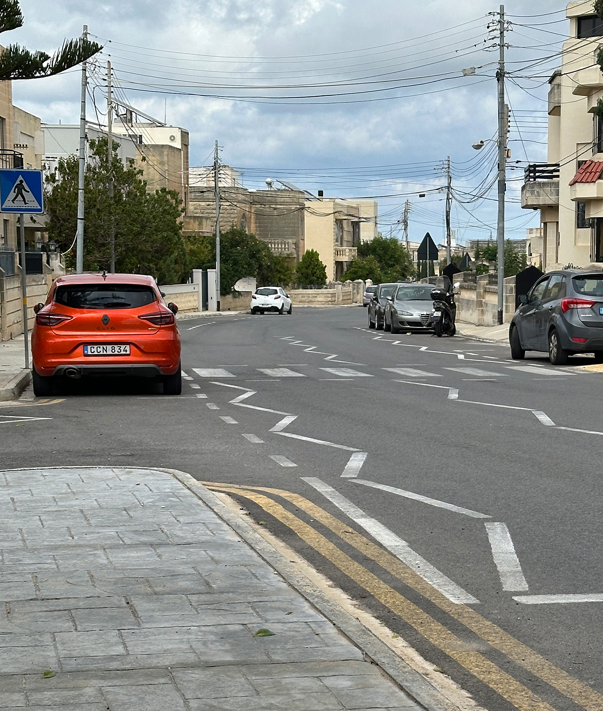
Between here and San Salvatore station the route once passed through wide open farmland, but the area is now covered by suburban villas. The only signs of the railway now are the generous and regular curves of the track alignment, adopted it turn by the course of the road.
Previous Station / Next Station
