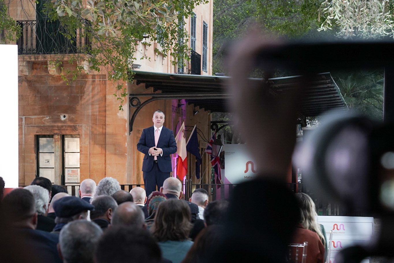
At the old station in Birkirkara last week, the Government of Malta recently went live with a bold new strategy to transport: Malta in Motion. It’s an ambitious multi-modal approach to satisfying the needs of 21st century Malta, focussing on connectivity between improved bus, car, bicycle, and ferry services. Naturally, most of the public interest has focussed on the return of a railway to the island after what will have been a century.
The new framework has been produced by internationally renowned consultants ARUP and is wide-reaching in its ambition. At this stage the proposals can best be described as aspirational but underpinned by several previous studies and an understanding of the island’s existing infrastructure and needs as well as those of the future.
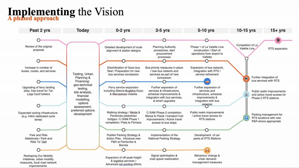
The new light railway, predictably, is initially proposed to link the airport with Valletta. The ‘La Vallette’ line is projected to cost in the region of €2.8b with construction suggested to start within five to ten years. A tight timescale of around five years has been given between breaking-ground and the line opening some time between 2036 and 2041.
Beyond this, an extension linking St Pauls Bay back onto the La Vallette line is proposed as a future development. This would be around twice the length of the first line and require more significant engineering works to deal with the challenging topography on the rout suggested to the North of Naxxar. The eventual network would include principal stops at Malta International Airport, Mater Dei Hospital, University of Malta, Valletta, Qormi, and St Paul’s Bay

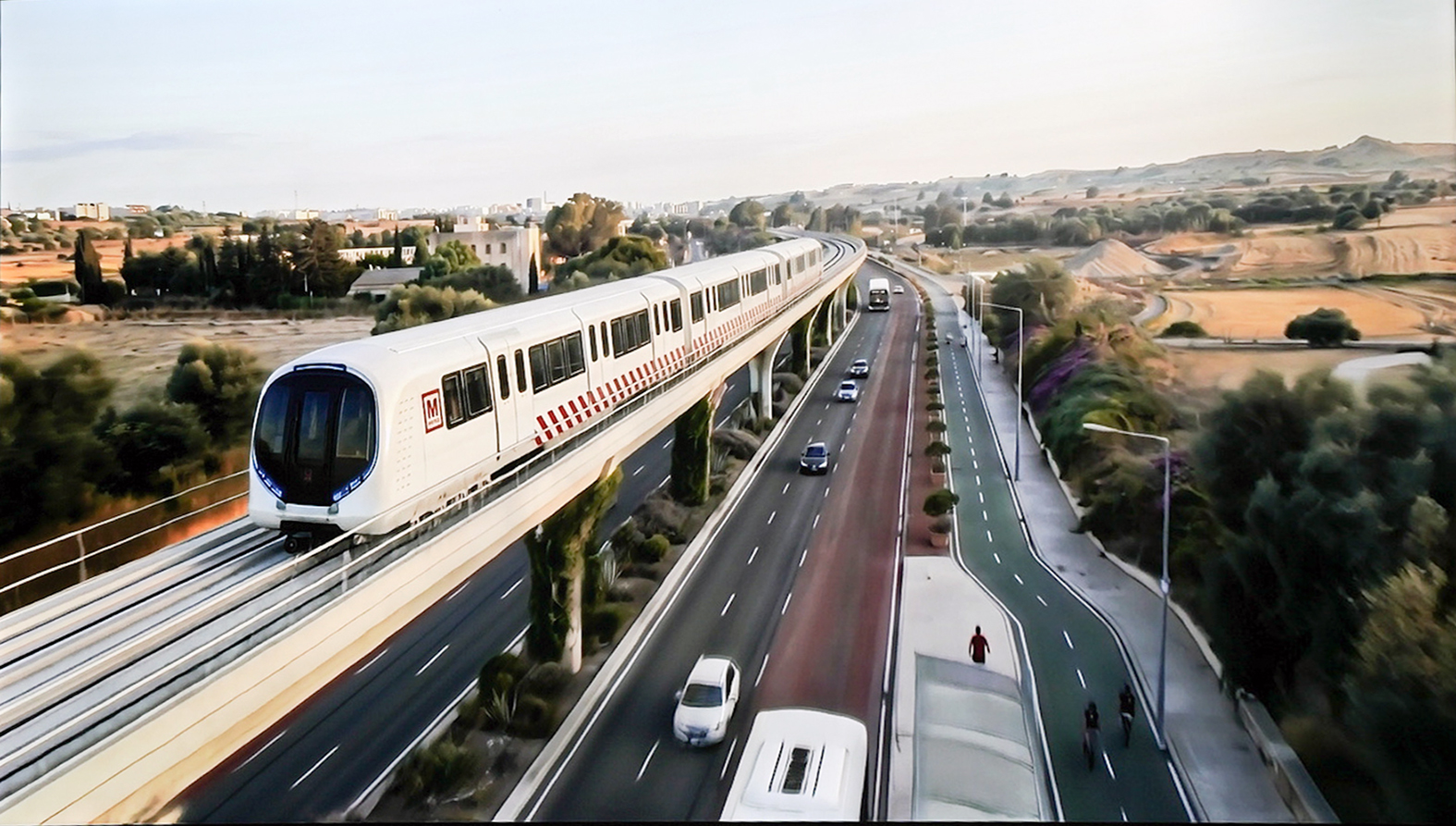
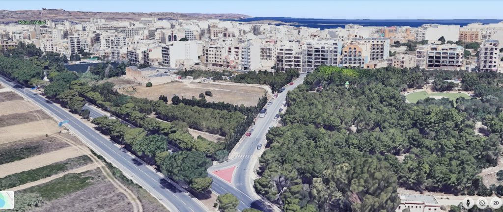
The glossy CGI images, probably with a touch of Ai, imply the use of high-level viaducts using similar highways corridors as existing. One of these images suggests a high-level station at St Pauls bay on a plot of presently open land between Kennedy Grove and the Sirens Stadium, before effortlessly vaulting over Route 1 in the direction of Burmarrad.
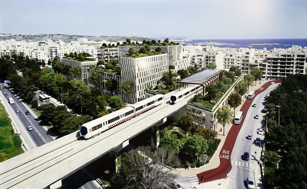
Other of these images suggest a generic piece of Maltese dual-carriageway with the new viaduct and bus lanes, though is unspecific as to where it’s intended to portray.
The accompany documents demonstrate a need to underground, surface level, and elevated sections of the new railway. This approach appears to be pragmatic when faced with the most densely developed country in Europe, and where flexibility will be paramount.
Perhaps with some relief, the original Malta Railway seems to play little part in the proposals. Since the original Malta Railway was planned, population centres and development have changed entirely, and Birkirkara, Attard, and Mdina could hardly sustain the traffic required to sustain such an expensive new project.
It’s hoped that its historic railway landmarks and features will not come into conflict, and are surely far below modern specifications and requirements without the need for destructive alterations. The only elements threatened by a potential overlap would be those between Blata i-Bajda and the Valletta Terminus. We hope the World Heritage status of the Capital’s fortifications will ensure an underground solution can be sought, one that safeguards the historic railway features.
Full links to the Press release and accompanying documents here: PRESS RELEASE BY THE MINISTRY FOR TRANSPORT, INFRASTRUCTURE AND PUBLIC WORKS Malta in Motion, a long-term programme shaping the future of mobility across the Maltese Islands

No responses yet