This 1975 photo shows the Malta Railway crossing out of the Floriana Lines, albeit long after the trains last ran.
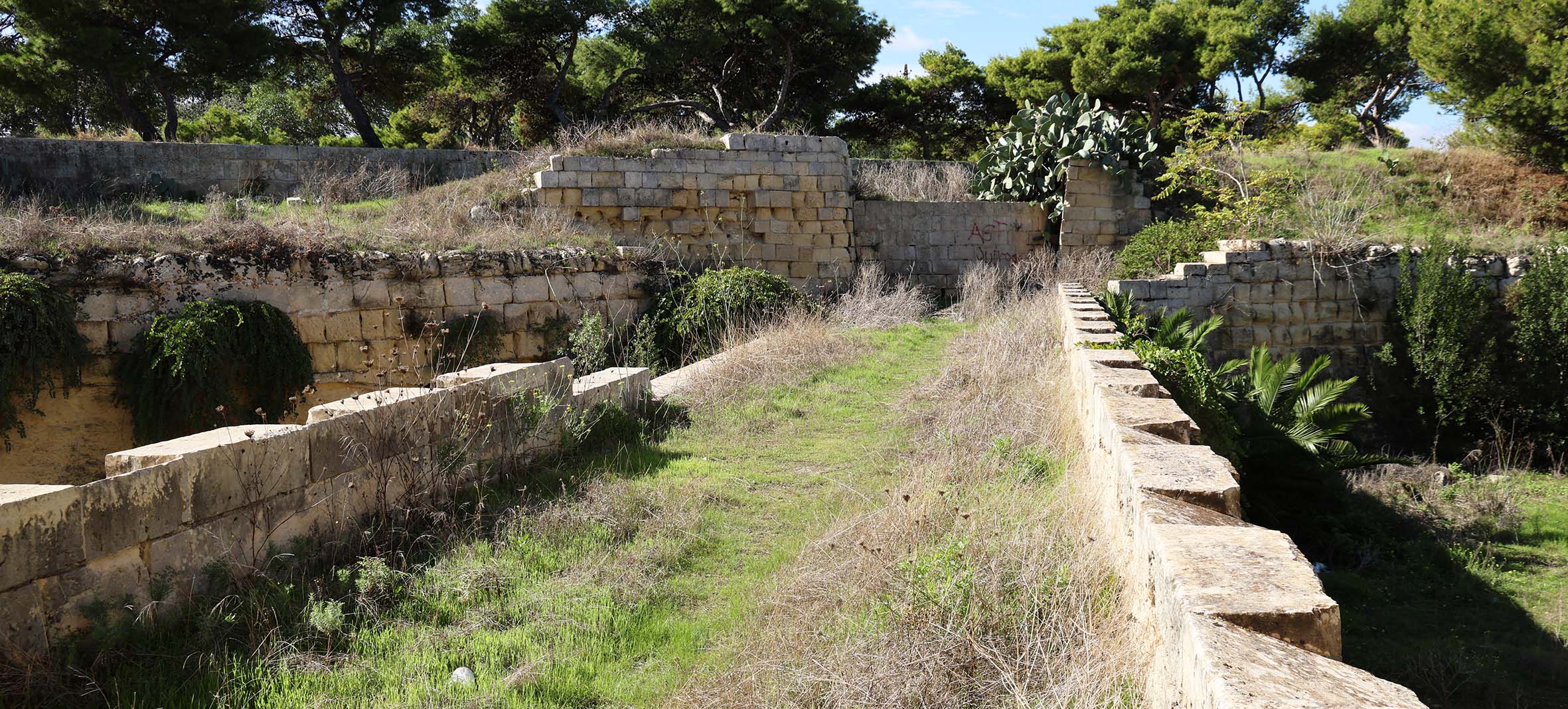
The glacis was backfilled and repaired after closure and the way blocked-up between the two abutment features behind the steps.
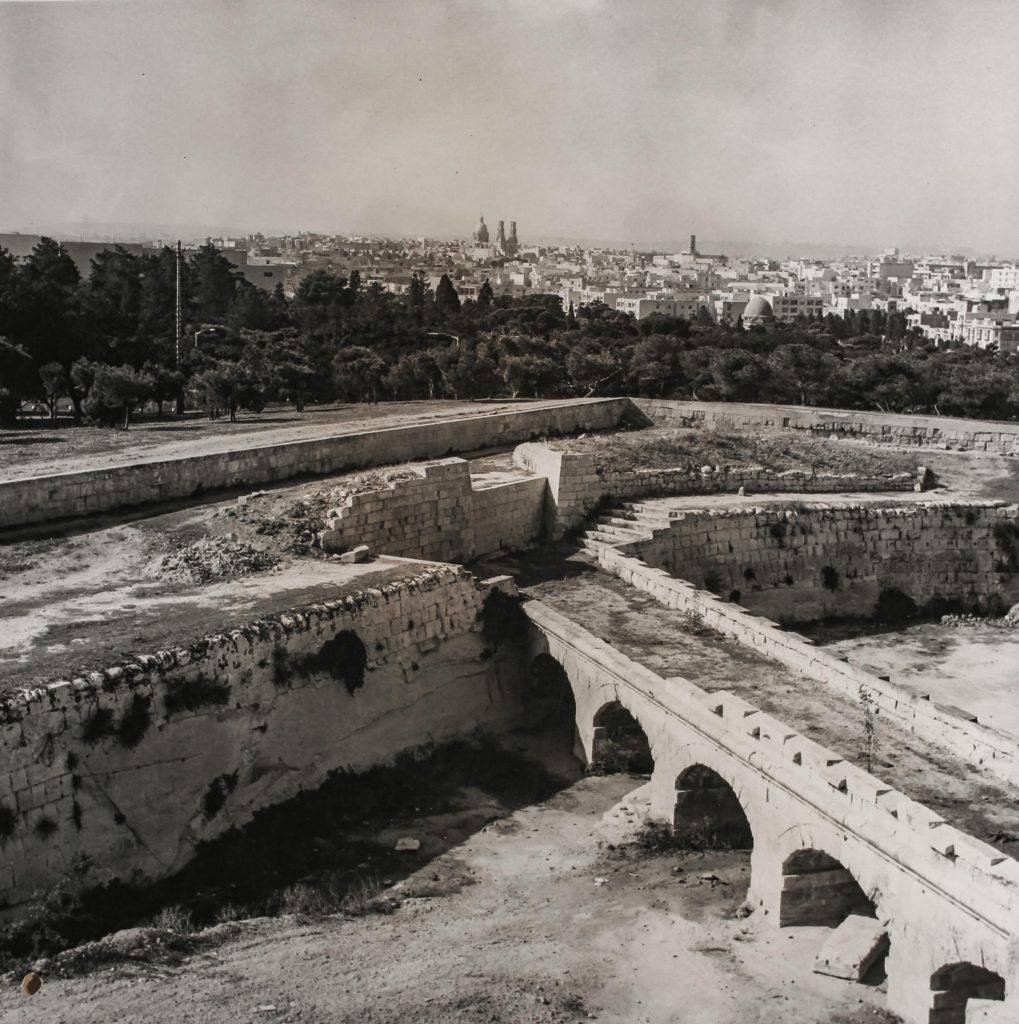
I believe the steps were a designed pedestrian crossing of the railway line, but what of those abutments with ramps leading up to them? They survive today.
Was there an abortive plan for a pedestrian overbridge here?
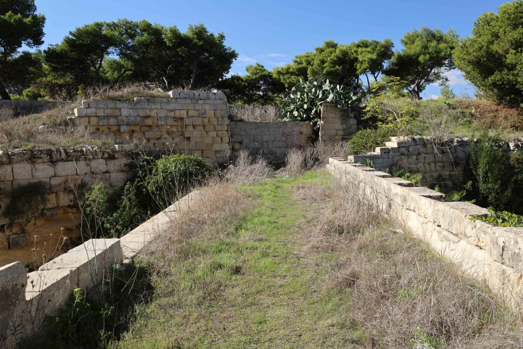
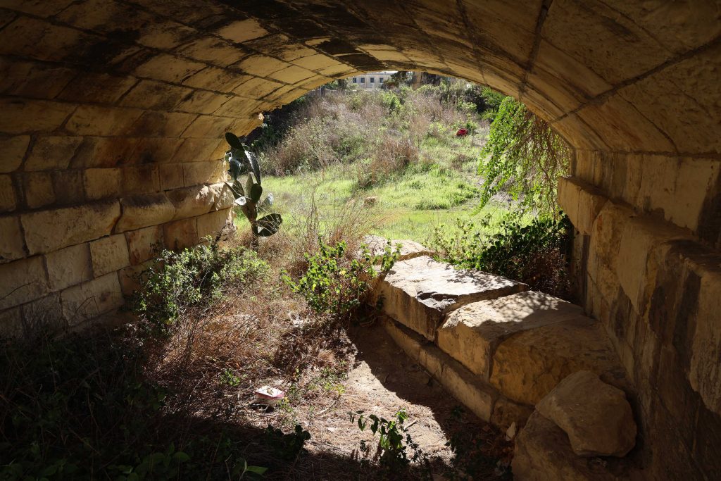
Also shown are the diagonally aligned stone bases that supported the original timber bridge across the ditch, replaced after Government took over the line.
The present bridge is likely to have been one of three “skew bridges” designed by architect Andrea Vassalo as part of his Office of Works duties. These were included in his resume when he was seeking professional accreditation as an architect.

No responses yet